Distance to Lovell, Ohio

Calculating Your Route
Just a moment while we process your request...
Location Information
-
Full AddressLovell, Salem Township, OH 43351
-
Coordinates40.8906113, -83.3315887
-
LocationSalem Township , Ohio , US
-
TimezoneAmerica/New_York
-
Current Local Time6:41:17 PM America/New_YorkFriday, May 30, 2025
-
Page Views1
About Lovell
Lovell is an unincorporated community in Wyandot County, in the U.S. state of Ohio.
Nearby Places
Found 10 places within 50 miles

Carey
5.0 mi
8.0 km
Carey, OH 43316
Get directions

Upper Sandusky
5.1 mi
8.2 km
Upper Sandusky, OH 43351
Get directions

Kirby
7.0 mi
11.3 km
Kirby, OH
Get directions
Wharton
7.1 mi
11.4 km
Wharton, OH 43359
Get directions
Adrian
7.7 mi
12.4 km
Adrian, OH 43316
Get directions

McCutchenville
7.9 mi
12.7 km
McCutchenville, OH 44844
Get directions
Sycamore
9.3 mi
15.0 km
Sycamore, OH 44882
Get directions

Vanlue
9.7 mi
15.6 km
Vanlue, OH 45890
Get directions
Mexico
9.8 mi
15.8 km
Mexico, Tymochtee Township, OH 44882
Get directions

New Riegel
11.1 mi
17.9 km
New Riegel, OH 44853
Get directions
Location Links
Local Weather
Weather Information
Coming soon!
Location Map
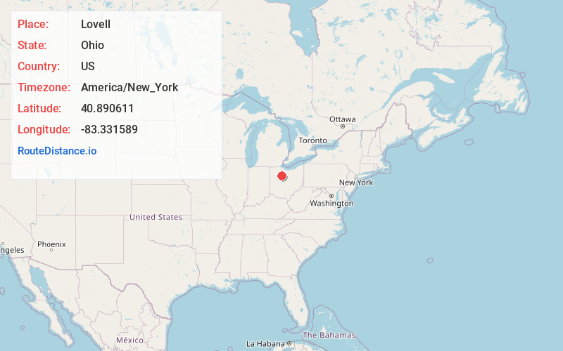
Static map view of Lovell, Ohio
Browse Places by Distance
Places within specific distances from Lovell
Short Distances
Long Distances
Click any distance to see all places within that range from Lovell. Distances shown in miles (1 mile ≈ 1.61 kilometers).