Distance to Lowman, Idaho

Calculating Your Route
Just a moment while we process your request...
Location Information
-
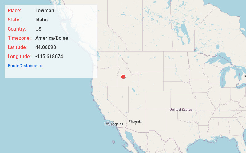
Full AddressLowman, ID 83637
-
Coordinates44.0809804, -115.6186743
-
LocationLowman , Idaho , US
-
TimezoneAmerica/Boise
-
Current Local Time2:33:17 AM America/BoiseMonday, June 16, 2025
-
Page Views0
About Lowman
Lowman is a small rural census-designated place in Boise County, Idaho, United States. It is nestled along the north bank of the South Fork of the Payette River in the central part of the state, at an elevation of 3,960 feet above sea level. As of the 2010 census, its population was 42.


Nearby Places
Found 10 places within 50 miles

Garden Valley
16.7 mi
26.9 km
Garden Valley, ID 83622
Get directions

Crouch
17.6 mi
28.3 km
Crouch, ID 83622
Get directions

Placerville
18.9 mi
30.4 km
Placerville, ID
Get directions

Idaho City
20.5 mi
33.0 km
Idaho City, ID 83631
Get directions

Smiths Ferry
27.9 mi
44.9 km
Smiths Ferry, ID 83611
Get directions

Horseshoe Bend
31.0 mi
49.9 km
Horseshoe Bend, ID 83629
Get directions

Stanley
35.4 mi
57.0 km
Stanley, ID 83278
Get directions
Robie Creek
36.2 mi
58.3 km
Robie Creek, ID 83716
Get directions

Cascade
36.6 mi
58.9 km
Cascade, ID 83611
Get directions

Hidden Springs
40.5 mi
65.2 km
Hidden Springs, ID 83714
Get directions
Location Links
Local Weather
Weather Information
Coming soon!
Location Map
Static map view of Lowman, Idaho
Browse Places by Distance
Places within specific distances from Lowman
Short Distances
Long Distances
Click any distance to see all places within that range from Lowman. Distances shown in miles (1 mile ≈ 1.61 kilometers).