Distance to Lowndes, Missouri

Calculating Your Route
Just a moment while we process your request...
Location Information
-
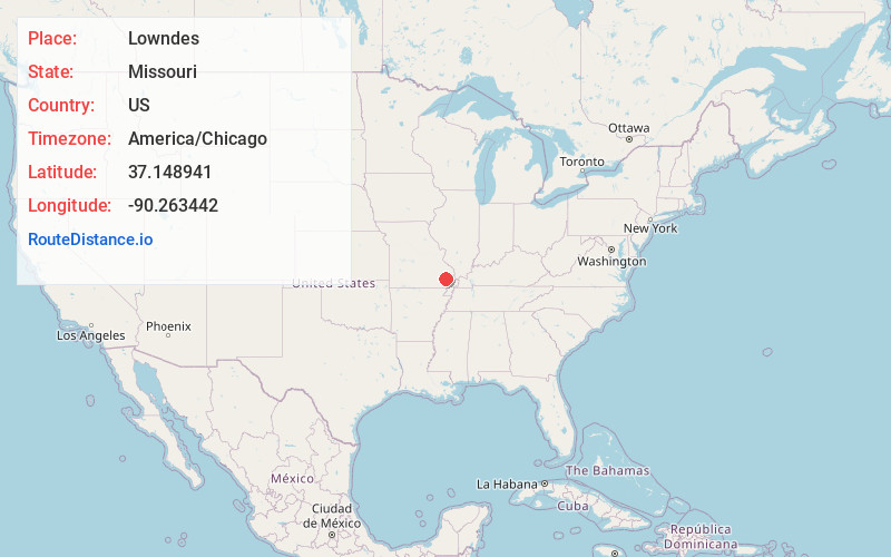
Full AddressLowndes, MO 63951
-
Coordinates37.1489409, -90.2634421
-
LocationLowndes , Missouri , US
-
TimezoneAmerica/Chicago
-
Current Local Time1:39:34 AM America/ChicagoWednesday, June 4, 2025
-
Page Views0
About Lowndes
Lowndes is an unincorporated community in eastern Wayne County, Missouri, United States. It is located approximately twenty miles southwest of Marble Hill, along Missouri Route E. Bear Creek flows past the north side of the community and Barnes Creek is just east of the community.
Nearby Places
Found 10 places within 50 miles

Hiram
3.5 mi
5.6 km
Hiram, MO 63951
Get directions
Gipsy
4.6 mi
7.4 km
Gipsy, MO 63750
Get directions
Burbank
5.9 mi
9.5 km
Burbank, St Francois Township, MO 63964
Get directions
McGee
6.4 mi
10.3 km
McGee, MO 63951
Get directions
Clubb
6.4 mi
10.3 km
Clubb, MO 63944
Get directions
Missionary Acres
9.5 mi
15.3 km
Missionary Acres, St Francois Township, MO 63964
Get directions
Zalma
10.0 mi
16.1 km
Zalma, MO 63787
Get directions

Greenville
10.4 mi
16.7 km
Greenville, MO 63944
Get directions
Cascade
10.4 mi
16.7 km
Cascade, MO 63655
Get directions

Grassy
10.9 mi
17.5 km
Grassy, MO 63655
Get directions
Location Links
Local Weather
Weather Information
Coming soon!
Location Map
Static map view of Lowndes, Missouri
Browse Places by Distance
Places within specific distances from Lowndes
Short Distances
Long Distances
Click any distance to see all places within that range from Lowndes. Distances shown in miles (1 mile ≈ 1.61 kilometers).