Distance to McGee, Missouri

Calculating Your Route
Just a moment while we process your request...
Location Information
-
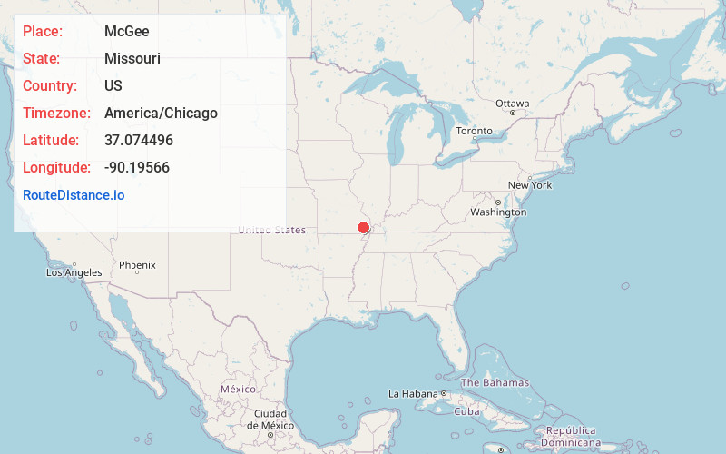
Full AddressMcGee, MO 63951
-
Coordinates37.0744964, -90.19566
-
LocationMcGee , Missouri , US
-
TimezoneAmerica/Chicago
-
Current Local Time8:04:07 PM America/ChicagoThursday, June 12, 2025
-
Page Views0
About McGee
McGee is an unincorporated community in eastern Wayne County, Missouri, United States. It is located approximately twenty-three miles northeast of Poplar Bluff, at an elevation of 387 feet. The community lies on the south bank of McGee Creek on Missouri Route TT.
Nearby Places
Found 10 places within 50 miles

Kinder
7.6 mi
12.2 km
Kinder, New Lisbon Township, MO 63960
Get directions
Zalma
7.8 mi
12.6 km
Zalma, MO 63787
Get directions

Puxico
8.9 mi
14.3 km
Puxico, MO 63960
Get directions
Eaglette
9.0 mi
14.5 km
Eaglette, New Lisbon Township, MO 63960
Get directions
Hiram
9.8 mi
15.8 km
Hiram, MO 63951
Get directions
Sturdivant
10.2 mi
16.4 km
Sturdivant, MO 63782
Get directions

Wappapello
10.6 mi
17.1 km
Wappapello, MO
Get directions
Burbank
10.9 mi
17.5 km
Burbank, St Francois Township, MO 63964
Get directions
Leora
11.1 mi
17.9 km
Leora, New Lisbon Township, MO 63960
Get directions
Sank
12.1 mi
19.5 km
Sank, Liberty Township, MO 63730
Get directions
Location Links
Local Weather
Weather Information
Coming soon!
Location Map
Static map view of McGee, Missouri
Browse Places by Distance
Places within specific distances from McGee
Short Distances
Long Distances
Click any distance to see all places within that range from McGee. Distances shown in miles (1 mile ≈ 1.61 kilometers).