Distance to Luebbering, Missouri

Calculating Your Route
Just a moment while we process your request...
Location Information
-
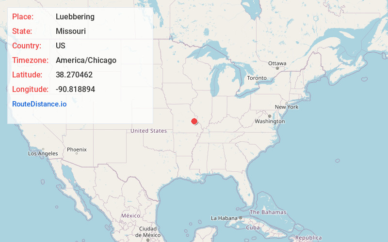
Full AddressLuebbering, MO
-
Coordinates38.270462, -90.8188941
-
LocationLuebbering , Missouri , US
-
TimezoneAmerica/Chicago
-
Current Local Time10:20:09 PM America/ChicagoThursday, June 19, 2025
-
Page Views0
About Luebbering
Luebbering is an unincorporated community in eastern Franklin County, Missouri, United States. It is located on Missouri Route FF, approximately ten miles southeast of St. Clair and about 2.5 miles south of Lonedell.
A post office called Lueberring was established in 1888, and remained in operation until 1996.
Nearby Places
Found 10 places within 50 miles

Mt Hope
3.5 mi
5.6 km
Mt Hope, Prairie Township, MO 63060
Get directions
Grubville
3.7 mi
6.0 km
Grubville, MO 63041
Get directions
Oermann
5.8 mi
9.3 km
Oermann, Big River Township, MO 63023
Get directions
Piney Park
7.1 mi
11.4 km
Piney Park, Central Township, MO 63077
Get directions

Richwoods
7.6 mi
12.2 km
Richwoods, MO 63071
Get directions
Dittmer
8.3 mi
13.4 km
Dittmer, MO
Get directions
Cottage Farm
8.4 mi
13.5 km
Cottage Farm, Big River Township, MO 63050
Get directions
Fletcher
8.6 mi
13.8 km
Fletcher, MO 63020
Get directions

Morse Mill
9.0 mi
14.5 km
Morse Mill, MO 63023
Get directions

Moselle
9.1 mi
14.6 km
Moselle, MO 63084
Get directions
Location Links
Local Weather
Weather Information
Coming soon!
Location Map
Static map view of Luebbering, Missouri
Browse Places by Distance
Places within specific distances from Luebbering
Short Distances
Long Distances
Click any distance to see all places within that range from Luebbering. Distances shown in miles (1 mile ≈ 1.61 kilometers).