Distance to Dittmer, Missouri

Calculating Your Route
Just a moment while we process your request...
Location Information
-
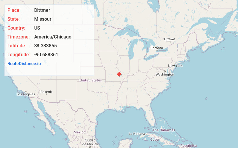
Full AddressDittmer, MO
-
Coordinates38.3338545, -90.6888606
-
LocationDittmer , Missouri , US
-
TimezoneAmerica/Chicago
-
Current Local Time8:44:54 PM America/ChicagoSaturday, May 31, 2025
-
Page Views0
About Dittmer
Dittmer is an unincorporated community in western Jefferson County, Missouri, United States. It is located on Route 30 southwest of Cedar Hill.
The community's namesake is William Dittmer, an early postmaster who established a post office called Dittmer's Store in 1870.
Nearby Places
Found 10 places within 50 miles

Cedar Hill Lakes
1.7 mi
2.7 km
Cedar Hill Lakes, MO
Get directions
Oermann
2.6 mi
4.2 km
Oermann, Big River Township, MO 63023
Get directions

Cedar Hill
2.9 mi
4.7 km
Cedar Hill, MO 63016
Get directions

Morse Mill
4.4 mi
7.1 km
Morse Mill, MO 63023
Get directions
Local
4.5 mi
7.2 km
Local, High Ridge Township, MO 63016
Get directions
Grubville
4.8 mi
7.7 km
Grubville, MO 63041
Get directions
Regina
4.8 mi
7.7 km
Regina, MO 63016
Get directions
Cottage Farm
6.6 mi
10.6 km
Cottage Farm, Big River Township, MO 63050
Get directions
Scotsdale
7.1 mi
11.4 km
Scotsdale, MO 63051
Get directions
Catawissa
8.1 mi
13.0 km
Catawissa, MO 63015
Get directions
Location Links
Local Weather
Weather Information
Coming soon!
Location Map
Static map view of Dittmer, Missouri
Browse Places by Distance
Places within specific distances from Dittmer
Short Distances
Long Distances
Click any distance to see all places within that range from Dittmer. Distances shown in miles (1 mile ≈ 1.61 kilometers).