Distance to Grubville, Missouri

Calculating Your Route
Just a moment while we process your request...
Location Information
-
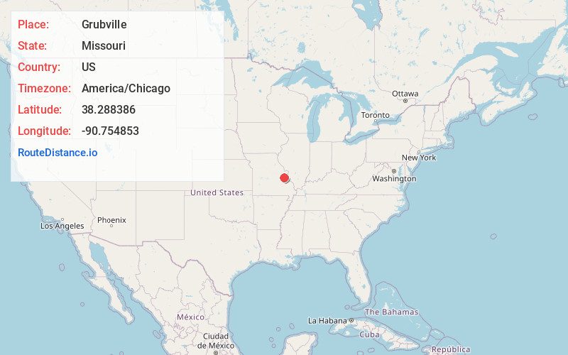
Full AddressGrubville, MO 63041
-
Coordinates38.2883862, -90.754853
-
LocationGrubville , Missouri , US
-
TimezoneAmerica/Chicago
-
Current Local Time10:41:26 PM America/ChicagoMonday, June 2, 2025
-
Page Views0
About Grubville
Grubville is an unincorporated community in western Jefferson County, Missouri, United States. It is located approximately one-half mile east of the Jefferson/Franklin County line. Missouri routes WW and Y meet at the community and Route 30 passes approximately one mile to the north.
Nearby Places
Found 10 places within 50 miles

Oermann
2.2 mi
3.5 km
Oermann, Big River Township, MO 63023
Get directions

Morse Mill
5.6 mi
9.0 km
Morse Mill, MO 63023
Get directions
Cedar Hill Lakes
6.0 mi
9.7 km
Cedar Hill Lakes, MO
Get directions
Mt Hope
6.5 mi
10.5 km
Mt Hope, Prairie Township, MO 63060
Get directions

Cedar Hill
7.6 mi
12.2 km
Cedar Hill, MO 63016
Get directions
Regina
8.8 mi
14.2 km
Regina, MO 63016
Get directions
Local
9.3 mi
15.0 km
Local, High Ridge Township, MO 63016
Get directions

Hillsboro
11.1 mi
17.9 km
Hillsboro, MO 63050
Get directions
Scotsdale
11.9 mi
19.2 km
Scotsdale, MO 63051
Get directions
Parkway
12.2 mi
19.6 km
Parkway, MO 63077
Get directions
Location Links
Local Weather
Weather Information
Coming soon!
Location Map
Static map view of Grubville, Missouri
Browse Places by Distance
Places within specific distances from Grubville
Short Distances
Long Distances
Click any distance to see all places within that range from Grubville. Distances shown in miles (1 mile ≈ 1.61 kilometers).