Distance to Local, Missouri

Calculating Your Route
Just a moment while we process your request...
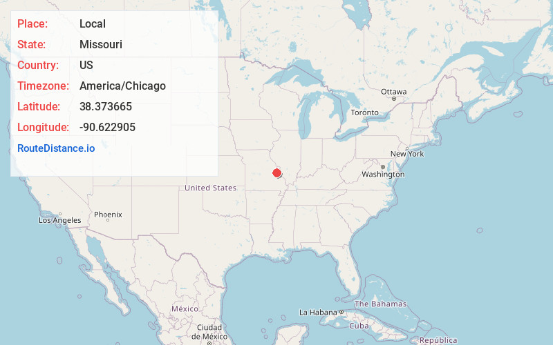
Location Information
-
Full AddressLocal, High Ridge Township, MO 63016
-
Coordinates38.373665, -90.6229046
-
LocationHigh Ridge Township , Missouri , US
-
TimezoneAmerica/Chicago
-
Current Local Time6:12:40 PM America/ChicagoFriday, June 20, 2025
-
Page Views0
Nearby Places
Found 10 places within 50 miles

Cedar Hill
1.7 mi
2.7 km
Cedar Hill, MO 63016
Get directions

Scotsdale
2.6 mi
4.2 km
Scotsdale, MO 63051
Get directions
Cedar Hill Lakes
3.6 mi
5.8 km
Cedar Hill Lakes, MO
Get directions

Byrnes Mill
5.2 mi
8.4 km
Byrnes Mill, MO
Get directions

High Ridge
7.5 mi
12.1 km
High Ridge, MO 63049
Get directions

Peaceful Village
7.7 mi
12.4 km
Peaceful Village, MO 63049
Get directions
Parkdale
8.9 mi
14.3 km
Parkdale, MO 63049
Get directions

Eureka
8.9 mi
14.3 km
Eureka, MO
Get directions

Pacific
9.9 mi
15.9 km
Pacific, MO 63069
Get directions

Hillsboro
10.3 mi
16.6 km
Hillsboro, MO 63050
Get directions
Location Links
Local Weather
Weather Information
Coming soon!
Location Map
Static map view of Local, Missouri
Browse Places by Distance
Places within specific distances from Local
Short Distances
Long Distances
Click any distance to see all places within that range from Local. Distances shown in miles (1 mile ≈ 1.61 kilometers).