Distance to Luis Lopez, New Mexico

Calculating Your Route
Just a moment while we process your request...
Location Information
-
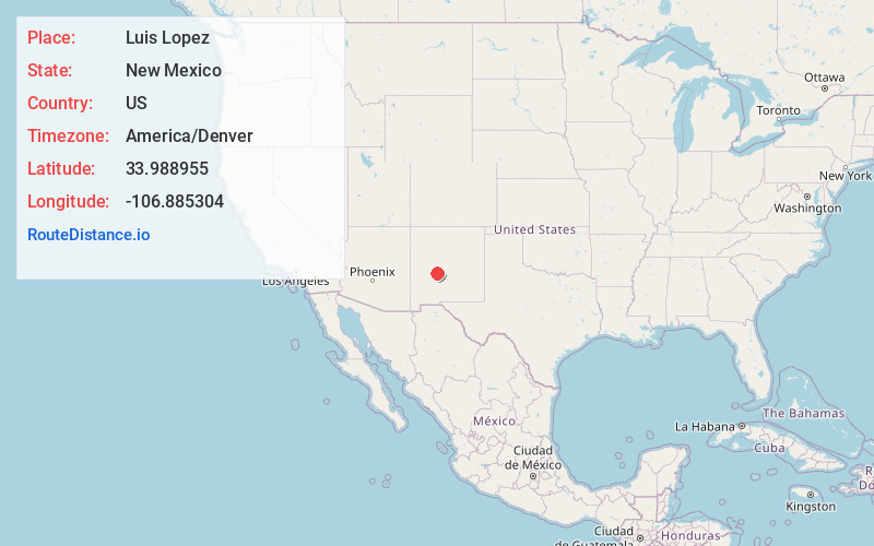
Full AddressLuis Lopez, NM 87801
-
Coordinates33.9889548, -106.8853041
-
LocationLuis Lopez , New Mexico , US
-
TimezoneAmerica/Denver
-
Current Local Time2:41:12 PM America/DenverThursday, July 3, 2025
-
Page Views0
About Luis Lopez
Luis Lopez is an unincorporated community and census-designated place in Socorro County, New Mexico, United States. It lies between Socorro and San Antonio along the Rio Grande.
Nearby Places
Found 10 places within 50 miles

Socorro
4.8 mi
7.7 km
Socorro, NM 87801
Get directions

Pueblito
9.2 mi
14.8 km
Pueblito, NM 87801
Get directions

Lemitar
11.9 mi
19.2 km
Lemitar, NM 87823
Get directions

Polvadera
15.1 mi
24.3 km
Polvadera, NM
Get directions

Magdalena
22.3 mi
35.9 km
Magdalena, NM 87825
Get directions

La Joya
24.7 mi
39.8 km
La Joya, NM 87028
Get directions
Abeytas
33.0 mi
53.1 km
Abeytas, NM 87006
Get directions

Las Nutrias
34.3 mi
55.2 km
Las Nutrias, NM 87062
Get directions
Casa Colorada
41.2 mi
66.3 km
Casa Colorada, NM 87002
Get directions

Jarales
43.7 mi
70.3 km
Jarales, NM
Get directions
Location Links
Local Weather
Weather Information
Coming soon!
Location Map
Static map view of Luis Lopez, New Mexico
Browse Places by Distance
Places within specific distances from Luis Lopez
Short Distances
Long Distances
Click any distance to see all places within that range from Luis Lopez. Distances shown in miles (1 mile ≈ 1.61 kilometers).