Distance to Lynchburg, Missouri

Calculating Your Route
Just a moment while we process your request...
Location Information
-
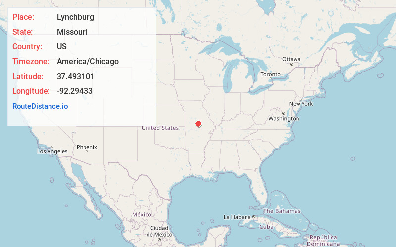
Full AddressLynchburg, MO 65543
-
Coordinates37.4931006, -92.2943304
-
LocationLynchburg , Missouri , US
-
TimezoneAmerica/Chicago
-
Current Local Time1:27:16 PM America/ChicagoFriday, June 6, 2025
-
Page Views0
About Lynchburg
Lynchburg is an unincorporated community in southeastern Laclede County, Missouri, United States. It is located at the intersection of Missouri routes 32 and 95, approximately 30 miles southeast of Lebanon.
A post office called Lynchburg was established in 1897, and remained in operation until 1996.
Nearby Places
Found 10 places within 50 miles

Plato
3.9 mi
6.3 km
Plato, MO 65552
Get directions

Embree
6.0 mi
9.7 km
Embree, Montgomery Township, MO 65552
Get directions
Turley
6.9 mi
11.1 km
Turley, Upton Township, MO 65552
Get directions
Casey Ford
7.9 mi
12.7 km
Casey Ford, Gasconade Township, MO 65470
Get directions
Roby
8.7 mi
14.0 km
Roby, MO 65557
Get directions
Falcon
9.0 mi
14.5 km
Falcon, MO 65470
Get directions
Drew
10.2 mi
16.4 km
Drew, MO 65536
Get directions
Green Mountain
11.0 mi
17.7 km
Green Mountain, Van Buren Township, MO 65711
Get directions
Upton
11.2 mi
18.0 km
Upton, MO 65444
Get directions
Agnes
11.3 mi
18.2 km
Agnes, MO 65536
Get directions
Location Links
Local Weather
Weather Information
Coming soon!
Location Map
Static map view of Lynchburg, Missouri
Browse Places by Distance
Places within specific distances from Lynchburg
Short Distances
Long Distances
Click any distance to see all places within that range from Lynchburg. Distances shown in miles (1 mile ≈ 1.61 kilometers).