Distance to Roby, Missouri

Calculating Your Route
Just a moment while we process your request...
Location Information
-
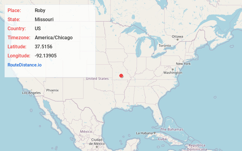
Full AddressRoby, MO 65557
-
Coordinates37.5155999, -92.1390496
-
LocationRoby , Missouri , US
-
TimezoneAmerica/Chicago
-
Current Local Time2:42:00 PM America/ChicagoWednesday, June 4, 2025
-
Page Views0
About Roby
Roby is an unincorporated community in northwestern Texas County, Missouri, United States. It is located approximately sixteen miles northwest of Houston and ten miles south of Fort Leonard Wood at the northern junction of Routes 17 and 32. Roby is home to the "Mark Twain National Forest" campgrounds.
Nearby Places
Found 10 places within 50 miles

Plato
4.8 mi
7.7 km
Plato, MO 65552
Get directions

Turley
5.3 mi
8.5 km
Turley, Upton Township, MO 65552
Get directions
Hazleton
6.3 mi
10.1 km
Hazleton, Boone Township, MO 65542
Get directions
Slabtown
7.3 mi
11.7 km
Slabtown, Boone Township, MO 65542
Get directions
Ellis Prairie
8.9 mi
14.3 km
Ellis Prairie, MO 65444
Get directions
Embree
9.6 mi
15.4 km
Embree, Montgomery Township, MO 65552
Get directions
Big Piney
11.0 mi
17.7 km
Big Piney, MO 65473
Get directions
Plum Valley
11.2 mi
18.0 km
Plum Valley, Piney Township, MO 65444
Get directions
Ross Bridge
11.5 mi
18.5 km
Ross Bridge, Piney Township, MO 65461
Get directions

Greenview
11.7 mi
18.8 km
Greenview, Roubidoux Township, MO 65534
Get directions
Location Links
Local Weather
Weather Information
Coming soon!
Location Map
Static map view of Roby, Missouri
Browse Places by Distance
Places within specific distances from Roby
Short Distances
Long Distances
Click any distance to see all places within that range from Roby. Distances shown in miles (1 mile ≈ 1.61 kilometers).