Distance to Lyndale, Iowa

Calculating Your Route
Just a moment while we process your request...
Location Information
-
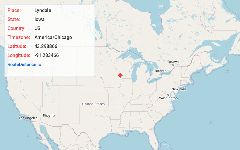
Full AddressLyndale, IA 52151
-
Coordinates43.2988663, -91.283466
-
LocationIowa , US
-
TimezoneAmerica/Chicago
-
Current Local Time3:53:19 AM America/ChicagoSaturday, May 31, 2025
-
Page Views0
Nearby Places
Found 10 places within 50 miles

Dalby
2.4 mi
3.9 km
Dalby, IA 52170
Get directions
Elon
3.1 mi
5.0 km
Elon, IA 52170
Get directions
Eldergrove
5.2 mi
8.4 km
Eldergrove, IA 52146
Get directions

Lansing
5.4 mi
8.7 km
Lansing, IA 52151
Get directions

Waterville
6.3 mi
10.1 km
Waterville, IA 52170
Get directions
Maud
6.7 mi
10.8 km
Maud, IA 52172
Get directions
Rossville
8.9 mi
14.3 km
Rossville, IA 52172
Get directions

Harpers Ferry
9.4 mi
15.1 km
Harpers Ferry, IA 52146
Get directions

De Soto
9.6 mi
15.4 km
De Soto, WI 54624
Get directions

Ferryville
9.8 mi
15.8 km
Ferryville, WI 54628
Get directions
Location Links
Local Weather
Weather Information
Coming soon!
Location Map
Static map view of Lyndale, Iowa
Browse Places by Distance
Places within specific distances from Lyndale
Short Distances
Long Distances
Click any distance to see all places within that range from Lyndale. Distances shown in miles (1 mile ≈ 1.61 kilometers).