Distance to Ferryville, Wisconsin

Calculating Your Route
Just a moment while we process your request...
Location Information
-
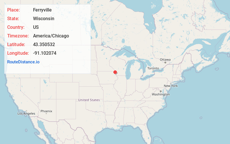
Full AddressFerryville, WI 54628
-
Coordinates43.3505324, -91.1020738
-
LocationFerryville , Wisconsin , US
-
TimezoneAmerica/Chicago
-
Current Local Time12:06:06 AM America/ChicagoFriday, June 13, 2025
-
Page Views0
About Ferryville
Ferryville is a village in Crawford County, Wisconsin, United States. The population was 191 at the 2020 census. It is located on Wisconsin Highway 35 along the Great River Road.


Nearby Places
Found 10 places within 50 miles

Lansing
5.9 mi
9.5 km
Lansing, IA 52151
Get directions

De Soto
7.0 mi
11.3 km
De Soto, WI 54624
Get directions

Mt Sterling
9.0 mi
14.5 km
Mt Sterling, WI
Get directions

Seneca
9.3 mi
15.0 km
Seneca, WI
Get directions

Harpers Ferry
10.7 mi
17.2 km
Harpers Ferry, IA 52146
Get directions

Gays Mills
13.1 mi
21.1 km
Gays Mills, WI 54631
Get directions
Eastman
13.4 mi
21.6 km
Eastman, WI
Get directions

New Albin
13.7 mi
22.0 km
New Albin, IA
Get directions

Soldiers Grove
16.8 mi
27.0 km
Soldiers Grove, WI 54655
Get directions

Genoa
16.8 mi
27.0 km
Genoa, WI 54632
Get directions
Location Links
Local Weather
Weather Information
Coming soon!
Location Map
Static map view of Ferryville, Wisconsin
Browse Places by Distance
Places within specific distances from Ferryville
Short Distances
Long Distances
Click any distance to see all places within that range from Ferryville. Distances shown in miles (1 mile ≈ 1.61 kilometers).