Distance to Mabel, Florida

Calculating Your Route
Just a moment while we process your request...
Location Information
-
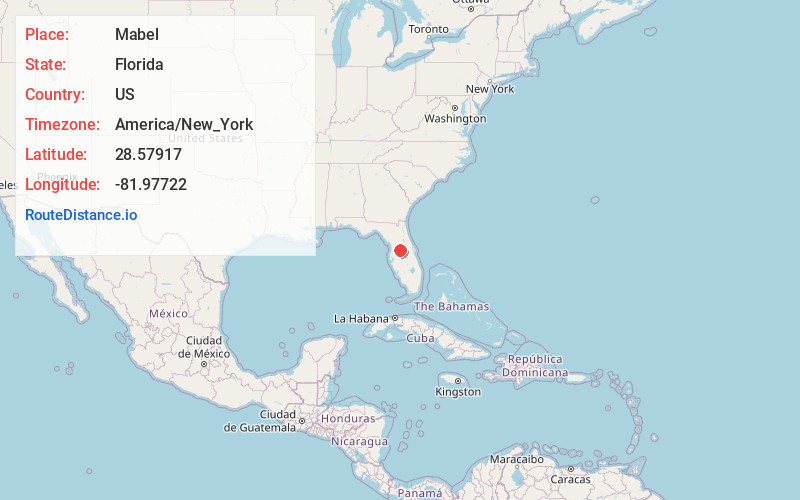
Full AddressMabel, FL 33597
-
Coordinates28.57917, -81.97722
-
LocationMabel , Florida , US
-
TimezoneAmerica/New_York
-
Current Local Time12:39:45 AM America/New_YorkWednesday, June 18, 2025
-
Page Views0
About Mabel
Mabel is an unincorporated community in central Sumter County, Florida, United States. The postal codes are 33597, which is shared by Webster to the northwest and 33514, which is shared by Center Hill to the north.
Nearby Places
Found 10 places within 50 miles

Slones Ridge
2.0 mi
3.2 km
Slones Ridge, FL 34736
Get directions
Cedar Hammock
2.2 mi
3.5 km
Cedar Hammock, Florida 33597
Get directions

Center Hill
5.0 mi
8.0 km
Center Hill, FL
Get directions

Tarrytown
5.0 mi
8.0 km
Tarrytown, FL 33597
Get directions

Webster
5.2 mi
8.4 km
Webster, FL
Get directions

Mascotte
5.4 mi
8.7 km
Mascotte, FL
Get directions

Groveland
7.4 mi
11.9 km
Groveland, FL
Get directions

Clay Sink
9.2 mi
14.8 km
Clay Sink, FL 33597
Get directions
Lincoln Park
9.5 mi
15.3 km
Lincoln Park, FL 33513
Get directions

Richloam
9.8 mi
15.8 km
Richloam, FL 33597
Get directions
Location Links
Local Weather
Weather Information
Coming soon!
Location Map
Static map view of Mabel, Florida
Browse Places by Distance
Places within specific distances from Mabel
Short Distances
Long Distances
Click any distance to see all places within that range from Mabel. Distances shown in miles (1 mile ≈ 1.61 kilometers).