Distance to Macomb, Oklahoma

Calculating Your Route
Just a moment while we process your request...
Location Information
-
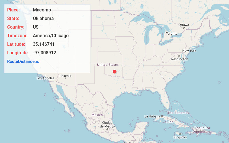
Full AddressMacomb, OK
-
Coordinates35.1467405, -97.0089117
-
LocationMacomb , Oklahoma , US
-
TimezoneAmerica/Chicago
-
Current Local Time6:15:10 PM America/ChicagoTuesday, May 20, 2025
-
Page Views0
About Macomb
Macomb is a town in Pottawatomie County, Oklahoma, United States. The population was 32 at the 2010 census, which represented a decline of 47.5 percent from the figure of 61 in 2000.


Nearby Places
Found 10 places within 50 miles

Tribbey
3.3 mi
5.3 km
Tribbey, OK
Get directions

Brooksville
4.2 mi
6.8 km
Brooksville, OK 74873
Get directions

Tecumseh
8.7 mi
14.0 km
Tecumseh, OK
Get directions

Etowah
9.1 mi
14.6 km
Etowah, OK
Get directions

St Louis
9.8 mi
15.8 km
St Louis, OK
Get directions

Pink
10.1 mi
16.3 km
Pink, OK
Get directions
Bethel Acres
11.2 mi
18.0 km
Bethel Acres, OK
Get directions

Asher
11.9 mi
19.2 km
Asher, OK 74826
Get directions

Wanette
12.8 mi
20.6 km
Wanette, OK
Get directions

Maud
13.2 mi
21.2 km
Maud, OK 74854
Get directions
Location Links
Local Weather
Weather Information
Coming soon!
Location Map
Static map view of Macomb, Oklahoma
Browse Places by Distance
Places within specific distances from Macomb
Short Distances
Long Distances
Click any distance to see all places within that range from Macomb. Distances shown in miles (1 mile ≈ 1.61 kilometers).