Distance to and from Wanette, Oklahoma
Wanette, OK
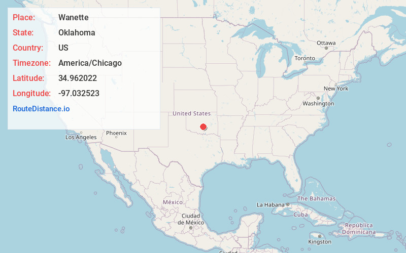
Wanette
Oklahoma
US
America/Chicago
Location Information
-
Full AddressWanette, OK
-
Coordinates34.9620224, -97.0325225
-
LocationWanette , Oklahoma , US
-
TimezoneAmerica/Chicago
-
Current Local Time12:00:09 PM America/ChicagoSaturday, May 3, 2025
-
Page Views0
Directions to Nearest Cities
About Wanette
Wanette is a town in Pottawatomie County, Oklahoma, United States. The population was 279 at the time of the 2020 Census. Wanette is part of the Purcell-Lexington retail trade area and is within the Greater Oklahoma City Metropolitan Area.


Nearby Places
Found 10 places within 50 miles

Asher
6.5 mi
10.5 km
Asher, OK 74826
Get directions

Tribbey
10.7 mi
17.2 km
Tribbey, OK
Get directions

Stratford
12.1 mi
19.5 km
Stratford, OK 74872
Get directions

Konawa
15.8 mi
25.4 km
Konawa, OK 74849
Get directions

Paoli
15.9 mi
25.6 km
Paoli, OK 73074
Get directions

Wayne
16.3 mi
26.2 km
Wayne, OK 73095
Get directions

Lexington
17.5 mi
28.2 km
Lexington, OK 73051
Get directions

Maud
18.6 mi
29.9 km
Maud, OK 74854
Get directions

Pauls Valley
18.7 mi
30.1 km
Pauls Valley, OK
Get directions

Purcell
18.9 mi
30.4 km
Purcell, OK
Get directions
Asher
6.5 mi
10.5 km
Asher, OK 74826
Tribbey
10.7 mi
17.2 km
Tribbey, OK
Stratford
12.1 mi
19.5 km
Stratford, OK 74872
Konawa
15.8 mi
25.4 km
Konawa, OK 74849
Paoli
15.9 mi
25.6 km
Paoli, OK 73074
Wayne
16.3 mi
26.2 km
Wayne, OK 73095
Lexington
17.5 mi
28.2 km
Lexington, OK 73051
Maud
18.6 mi
29.9 km
Maud, OK 74854
Pauls Valley
18.7 mi
30.1 km
Pauls Valley, OK
Purcell
18.9 mi
30.4 km
Purcell, OK
Location Links
Local Weather
Weather Information
Coming soon!
Location Map
Static map view of Wanette, Oklahoma
Browse Places by Distance
Places within specific distances from Wanette
Short Distances
Long Distances
Click any distance to see all places within that range from Wanette. Distances shown in miles (1 mile ≈ 1.61 kilometers).