Distance to Magnolia, Texas

Calculating Your Route
Just a moment while we process your request...
Location Information
-
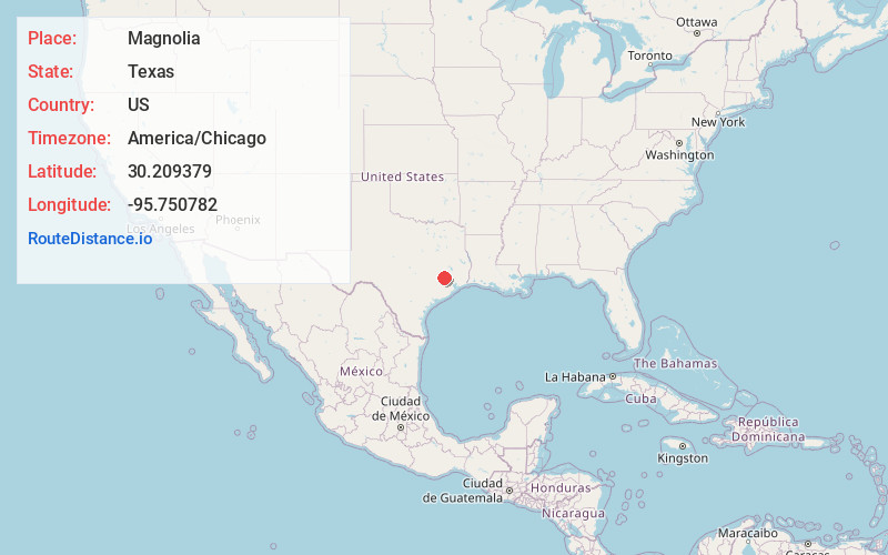
Full AddressMagnolia, TX
-
Coordinates30.2093794, -95.7507815
-
LocationMagnolia , Texas , US
-
TimezoneAmerica/Chicago
-
Current Local Time9:59:38 AM America/ChicagoSaturday, June 14, 2025
-
Page Views0
About Magnolia
Magnolia is a city in southwestern Montgomery County, Texas, United States within the Houston metropolitan area. It is named for the magnolia trees that grow in the area. The population was 2,359 at the 2020 census.


Nearby Places
Found 10 places within 50 miles

Pinehurst
4.9 mi
7.9 km
Pinehurst, TX
Get directions

Tomball
11.2 mi
18.0 km
Tomball, TX
Get directions

Waller
14.9 mi
24.0 km
Waller, TX
Get directions

Prairie View
16.3 mi
26.2 km
Prairie View, TX
Get directions

The Woodlands
17.6 mi
28.3 km
The Woodlands, TX
Get directions

Shenandoah
17.7 mi
28.5 km
Shenandoah, TX
Get directions

Conroe
19.0 mi
30.6 km
Conroe, TX
Get directions

Hempstead
21.0 mi
33.8 km
Hempstead, TX 77445
Get directions

Spring
21.8 mi
35.1 km
Spring, TX 77373
Get directions

Willis
22.0 mi
35.4 km
Willis, TX
Get directions
Location Links
Local Weather
Weather Information
Coming soon!
Location Map
Static map view of Magnolia, Texas
Browse Places by Distance
Places within specific distances from Magnolia
Short Distances
Long Distances
Click any distance to see all places within that range from Magnolia. Distances shown in miles (1 mile ≈ 1.61 kilometers).