Distance to Malone, Kentucky

Calculating Your Route
Just a moment while we process your request...
Location Information
-
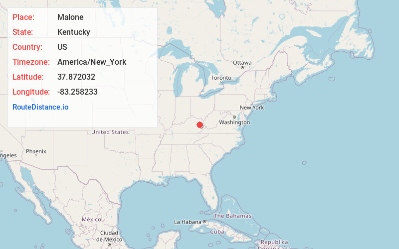
Full AddressMalone, KY 41472
-
Coordinates37.8720323, -83.2582326
-
LocationMalone , Kentucky , US
-
TimezoneAmerica/New_York
-
Current Local Time9:20:28 AM America/New_YorkWednesday, June 25, 2025
-
Page Views0
About Malone
Malone is an unincorporated community in Morgan County, Kentucky, United States. It lies along Route 191 south of the city of West Liberty, the county seat of Morgan County. Its elevation is 797 feet. It has a post office with the ZIP code 41451.
Nearby Places
Found 10 places within 50 miles

Gordon Ford
1.4 mi
2.3 km
Gordon Ford, KY 41472
Get directions
Greear
2.2 mi
3.5 km
Greear, KY 41472
Get directions
Liberty Rd
3.0 mi
4.8 km
Liberty Rd, West Liberty, KY 41472
Get directions
Cottle
3.2 mi
5.1 km
Cottle, KY 41472
Get directions
White Oak
3.2 mi
5.1 km
White Oak, KY 41472
Get directions

West Liberty
3.4 mi
5.5 km
West Liberty, KY 41472
Get directions
Nickell
4.5 mi
7.2 km
Nickell, KY 41352
Get directions
Holliday
4.6 mi
7.4 km
Holliday, KY 41472
Get directions
Grassy Creek
4.8 mi
7.7 km
Grassy Creek, KY 41472
Get directions
Caney
4.9 mi
7.9 km
Caney, KY 41472
Get directions
Location Links
Local Weather
Weather Information
Coming soon!
Location Map
Static map view of Malone, Kentucky
Browse Places by Distance
Places within specific distances from Malone
Short Distances
Long Distances
Click any distance to see all places within that range from Malone. Distances shown in miles (1 mile ≈ 1.61 kilometers).