Distance to Maloney, Kentucky

Calculating Your Route
Just a moment while we process your request...
Location Information
-
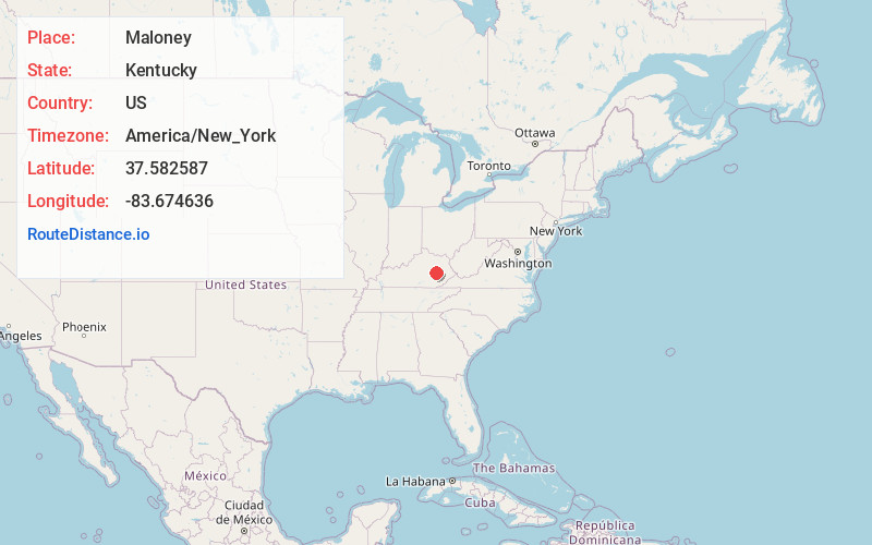
Full AddressMaloney, KY 41311
-
Coordinates37.5825866, -83.6746361
-
LocationKentucky , US
-
TimezoneAmerica/New_York
-
Current Local Time2:53:17 PM America/New_YorkWednesday, May 28, 2025
-
Page Views0
About Maloney
Maloney is an unincorporated community in Lee County, Kentucky, United States. Originally the location of the William Bryant Maloney's farm, the train tracks passed by the farm before crossing the North Fork Kentucky River at Sharp Rock. Maloney family added a train stop, a water pumping station, and a mail drop.
Nearby Places
Found 10 places within 50 miles

Beattyville
1.9 mi
3.1 km
Beattyville, KY 41311
Get directions

Congleton
3.1 mi
5.0 km
Congleton, KY 41311
Get directions
White Ash
3.8 mi
6.1 km
White Ash, KY 41311
Get directions
Lower Buffalo
3.8 mi
6.1 km
Lower Buffalo, KY 41311
Get directions
Belle Point
4.2 mi
6.8 km
Belle Point, KY 41311
Get directions
Stay
5.1 mi
8.2 km
Stay, KY 41311
Get directions
Lone
5.3 mi
8.5 km
Lone, KY 41311
Get directions
Canyon Falls
5.3 mi
8.5 km
Canyon Falls, KY 41311
Get directions
Vada
5.4 mi
8.7 km
Vada, KY 41311
Get directions

Heidelberg
6.0 mi
9.7 km
Heidelberg, KY 41311
Get directions
Location Links
Local Weather
Weather Information
Coming soon!
Location Map
Static map view of Maloney, Kentucky
Browse Places by Distance
Places within specific distances from Maloney
Short Distances
Long Distances
Click any distance to see all places within that range from Maloney. Distances shown in miles (1 mile ≈ 1.61 kilometers).