Distance to Mambrino, Texas

Calculating Your Route
Just a moment while we process your request...
Location Information
-
Full AddressMambrino, TX 76048
-
Coordinates32.3743066, -97.7450281
-
LocationTexas , US
-
TimezoneAmerica/Chicago
-
Current Local Time10:35:46 PM America/ChicagoWednesday, June 25, 2025
-
Page Views0
Nearby Places
Found 10 places within 50 miles

Pecan Plantation
4.2 mi
6.8 km
Pecan Plantation, TX 76049
Get directions

DeCordova
4.8 mi
7.7 km
DeCordova, TX 76049
Get directions

Granbury
5.8 mi
9.3 km
Granbury, TX
Get directions

Hood County
6.2 mi
10.0 km
Hood County, TX
Get directions

Brazos Bend
7.2 mi
11.6 km
Brazos Bend, TX
Get directions
Hill City
7.6 mi
12.2 km
Hill City, TX 76476
Get directions
Waples
7.7 mi
12.4 km
Waples, TX 76049
Get directions

Nemo
9.6 mi
15.4 km
Nemo, TX 76070
Get directions

Glen Rose
9.7 mi
15.6 km
Glen Rose, TX
Get directions
Tolar
10.3 mi
16.6 km
Tolar, TX 76476
Get directions
Location Links
Local Weather
Weather Information
Coming soon!
Location Map
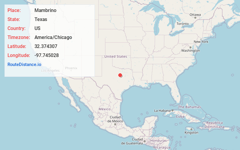
Static map view of Mambrino, Texas
Browse Places by Distance
Places within specific distances from Mambrino
Short Distances
Long Distances
Click any distance to see all places within that range from Mambrino. Distances shown in miles (1 mile ≈ 1.61 kilometers).