Distance to Manning, Kansas

Calculating Your Route
Just a moment while we process your request...
Location Information
-
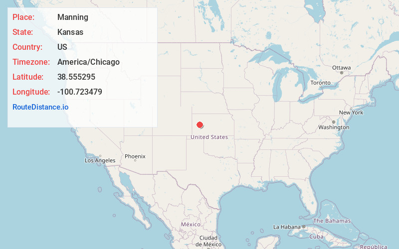
Full AddressManning, Keystone Township, KS 67871
-
Coordinates38.5552946, -100.7234794
-
LocationKeystone Township , Kansas , US
-
TimezoneAmerica/Chicago
-
Current Local Time11:58:56 PM America/ChicagoSaturday, June 21, 2025
-
Page Views0
About Manning
Manning is an unincorporated community in Scott County, Kansas, United States.
Nearby Places
Found 10 places within 50 miles

Grigston
4.9 mi
7.9 km
Grigston, Keystone Township, KS 67871
Get directions
Healy
6.6 mi
10.6 km
Healy, KS 67850
Get directions
Amy
8.3 mi
13.4 km
Amy, KS 67839
Get directions

Scott City
11.1 mi
17.9 km
Scott City, KS 67871
Get directions
Hutchins
13.1 mi
21.1 km
Hutchins, KS 67871
Get directions
Dighton
14.8 mi
23.8 km
Dighton, KS 67839
Get directions
Shields
15.6 mi
25.1 km
Shields, KS 67839
Get directions
Modoc
19.9 mi
32.0 km
Modoc, KS 67863
Get directions
Pence
20.1 mi
32.3 km
Pence, Beaver Township, KS 67871
Get directions
Friend
22.8 mi
36.7 km
Friend, KS 67871
Get directions
Location Links
Local Weather
Weather Information
Coming soon!
Location Map
Static map view of Manning, Kansas
Browse Places by Distance
Places within specific distances from Manning
Short Distances
Long Distances
Click any distance to see all places within that range from Manning. Distances shown in miles (1 mile ≈ 1.61 kilometers).