Distance to Mantey, Kansas

Calculating Your Route
Just a moment while we process your request...
Location Information
-
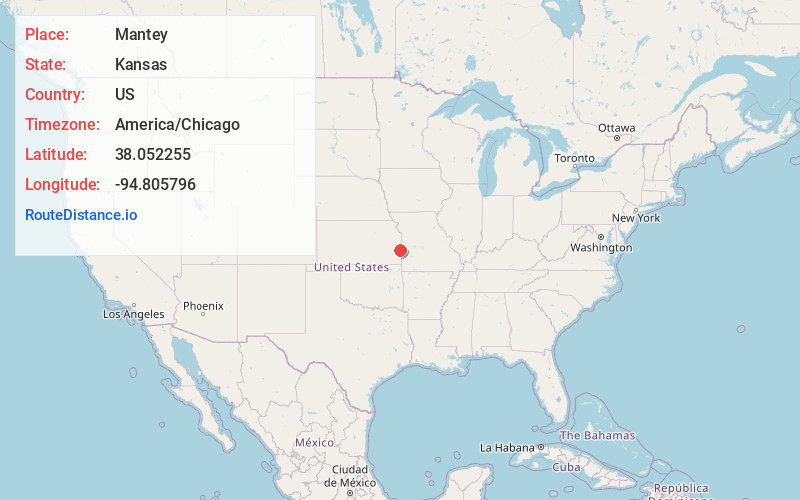
Full AddressMantey, KS 66056
-
Coordinates38.0522553, -94.8057963
-
LocationMantey , Kansas , US
-
TimezoneAmerica/Chicago
-
Current Local Time12:37:04 PM America/ChicagoFriday, May 23, 2025
-
Page Views0
About Mantey
Mantey is an unincorporated community in Linn County, Kansas, United States.
Nearby Places
Found 10 places within 50 miles

Mapleton
5.0 mi
8.0 km
Mapleton, KS 66754
Get directions

Fulton
5.5 mi
8.9 km
Fulton, KS 66738
Get directions

Prescott
6.1 mi
9.8 km
Prescott, KS 66767
Get directions

Mound City
6.3 mi
10.1 km
Mound City, KS
Get directions
Barnesville
8.3 mi
13.4 km
Barnesville, KS 66738
Get directions
Devon
9.0 mi
14.5 km
Devon, KS 66701
Get directions

Pleasanton
10.1 mi
16.3 km
Pleasanton, KS 66075
Get directions
Blue Mound
11.2 mi
18.0 km
Blue Mound, KS 66010
Get directions

Hume
12.4 mi
20.0 km
Hume, MO 64752
Get directions
Stotesbury
14.2 mi
22.9 km
Stotesbury, MO 64778
Get directions
Location Links
Local Weather
Weather Information
Coming soon!
Location Map
Static map view of Mantey, Kansas
Browse Places by Distance
Places within specific distances from Mantey
Short Distances
Long Distances
Click any distance to see all places within that range from Mantey. Distances shown in miles (1 mile ≈ 1.61 kilometers).