Distance to Manuelito, New Mexico

Calculating Your Route
Just a moment while we process your request...
Location Information
-
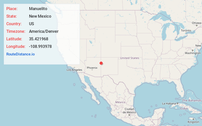
Full AddressManuelito, NM 87319
-
Coordinates35.4219675, -108.9939784
-
LocationManuelito , New Mexico , US
-
TimezoneAmerica/Denver
-
Current Local Time5:30:43 AM America/DenverMonday, June 2, 2025
-
Page Views0


Nearby Places
Found 10 places within 50 miles

Houck
15.4 mi
24.8 km
Houck, AZ
Get directions

Rock Springs
15.9 mi
25.6 km
Rock Springs, NM
Get directions
St Michaels
16.4 mi
26.4 km
St Michaels, AZ 86511
Get directions

Tse Bonito
16.4 mi
26.4 km
Tse Bonito, NM 87301
Get directions

Gamerco
16.5 mi
26.6 km
Gamerco, NM 87301
Get directions

Vanderwagen
16.9 mi
27.2 km
Vanderwagen, NM 87326
Get directions
Catalpa Canyon
17.6 mi
28.3 km
Catalpa Canyon, Gallup, NM 87301
Get directions

Window Rock
18.2 mi
29.3 km
Window Rock, AZ
Get directions

Yah-Ta-Hey
18.6 mi
29.9 km
Yah-Ta-Hey, NM
Get directions
Sundance
20.2 mi
32.5 km
Sundance, NM 87301
Get directions
Location Links
Local Weather
Weather Information
Coming soon!
Location Map
Static map view of Manuelito, New Mexico
Browse Places by Distance
Places within specific distances from Manuelito
Short Distances
Long Distances
Click any distance to see all places within that range from Manuelito. Distances shown in miles (1 mile ≈ 1.61 kilometers).