Distance to Vanderwagen, New Mexico

Calculating Your Route
Just a moment while we process your request...
Location Information
-
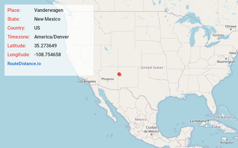
Full AddressVanderwagen, NM 87326
-
Coordinates35.2736493, -108.7546582
-
LocationVanderwagen , New Mexico , US
-
TimezoneAmerica/Denver
-
Current Local Time1:48:29 AM America/DenverMonday, June 23, 2025
-
Page Views0
About Vanderwagen
Vanderwagen is an unincorporated community and census-designated place in McKinley County, New Mexico, United States. As of the 2020 census, it had a population of 48.


Nearby Places
Found 10 places within 50 miles

Sundance
14.5 mi
23.3 km
Sundance, NM 87301
Get directions

Zuni
15.1 mi
24.3 km
Zuni, NM
Get directions
Catalpa Canyon
17.9 mi
28.8 km
Catalpa Canyon, Gallup, NM 87301
Get directions

Fort Wingate
18.1 mi
29.1 km
Fort Wingate, NM 87316
Get directions

Church Rock
20.0 mi
32.2 km
Church Rock, NM
Get directions

Jamestown
20.2 mi
32.5 km
Jamestown, NM 87347
Get directions

Gamerco
20.6 mi
33.2 km
Gamerco, NM 87301
Get directions
Rock Springs
23.6 mi
38.0 km
Rock Springs, NM
Get directions

Yah-Ta-Hey
24.5 mi
39.4 km
Yah-Ta-Hey, NM
Get directions

Houck
25.5 mi
41.0 km
Houck, AZ
Get directions
Location Links
Local Weather
Weather Information
Coming soon!
Location Map
Static map view of Vanderwagen, New Mexico
Browse Places by Distance
Places within specific distances from Vanderwagen
Short Distances
Long Distances
Click any distance to see all places within that range from Vanderwagen. Distances shown in miles (1 mile ≈ 1.61 kilometers).