Distance to Manzanar, California

Calculating Your Route
Just a moment while we process your request...
Location Information
-
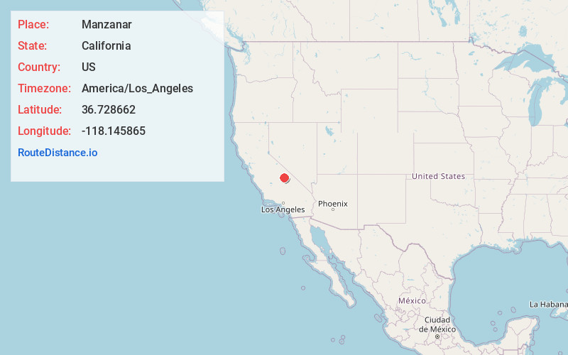
Full AddressManzanar, CA
-
Coordinates36.7286624, -118.1458649
-
LocationManzanar , California , US
-
TimezoneAmerica/Los_Angeles
-
Current Local Time10:02:28 PM America/Los_AngelesThursday, June 19, 2025
-
Page Views0
About Manzanar
Manzanar was a town in Inyo County, California, founded by water engineer and land developer George Chaffey. Most notably, Manzanar is known for its role in the internment of Japanese Americans during World War II.


Nearby Places
Found 10 places within 50 miles

Independence
5.9 mi
9.5 km
Independence, CA 93526
Get directions

Lone Pine
9.6 mi
15.4 km
Lone Pine, CA
Get directions

Dolomite
16.5 mi
26.6 km
Dolomite, CA
Get directions

Keeler
22.5 mi
36.2 km
Keeler, CA 93530
Get directions

Cartago
29.0 mi
46.7 km
Cartago, CA 93549
Get directions

Big Pine
31.2 mi
50.2 km
Big Pine, CA
Get directions

Olancha
31.8 mi
51.2 km
Olancha, CA 93549
Get directions

Silver City
33.2 mi
53.4 km
Silver City, CA 93271
Get directions

Wilkerson
40.6 mi
65.3 km
Wilkerson, CA 93514
Get directions

Darwin
44.3 mi
71.3 km
Darwin, CA 93522
Get directions
Location Links
Local Weather
Weather Information
Coming soon!
Location Map
Static map view of Manzanar, California
Browse Places by Distance
Places within specific distances from Manzanar
Short Distances
Long Distances
Click any distance to see all places within that range from Manzanar. Distances shown in miles (1 mile ≈ 1.61 kilometers).