Distance to Keeler, California

Calculating Your Route
Just a moment while we process your request...
Location Information
-
Full AddressKeeler, CA 93530
-
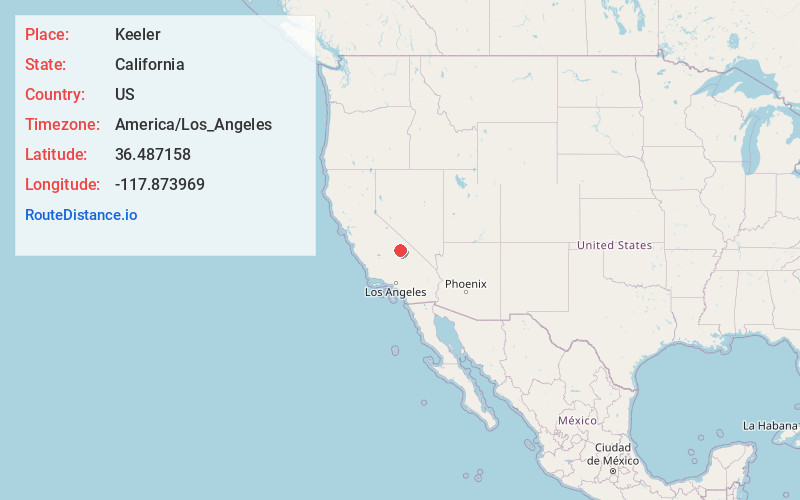
Coordinates36.4871576, -117.8739694
-
LocationKeeler , California , US
-
TimezoneAmerica/Los_Angeles
-
Current Local Time9:52:58 PM America/Los_AngelesSaturday, June 21, 2025
-
Page Views0
About Keeler
Keeler, formerly known as Hawley, is an unincorporated community in Inyo County, California, United States. Keeler is located on the east shore of Owens Lake 11.5 miles south-southeast of New York Butte. The population was 71 people at the 2020 census, up from 66 at the 2010 census.


Nearby Places
Found 10 places within 50 miles

Lone Pine
13.4 mi
21.6 km
Lone Pine, CA
Get directions

Cartago
14.3 mi
23.0 km
Cartago, CA 93549
Get directions

Olancha
16.0 mi
25.7 km
Olancha, CA 93549
Get directions

Darwin
21.8 mi
35.1 km
Darwin, CA 93522
Get directions

Independence
28.3 mi
45.5 km
Independence, CA 93526
Get directions

Kennedy Meadows
35.2 mi
56.6 km
Kennedy Meadows, CA 93527
Get directions

Ponderosa
45.0 mi
72.4 km
Ponderosa, CA 93265
Get directions

Sequoia Crest
46.5 mi
74.8 km
Sequoia Crest, CA 93265
Get directions

Camp Nelson
47.8 mi
76.9 km
Camp Nelson, CA 93265
Get directions

Pierpoint
48.4 mi
77.9 km
Pierpoint, CA 93265
Get directions
Location Links
Local Weather
Weather Information
Coming soon!
Location Map
Static map view of Keeler, California
Browse Places by Distance
Places within specific distances from Keeler
Short Distances
Long Distances
Click any distance to see all places within that range from Keeler. Distances shown in miles (1 mile ≈ 1.61 kilometers).