Distance to Olancha, California

Calculating Your Route
Just a moment while we process your request...
Location Information
-
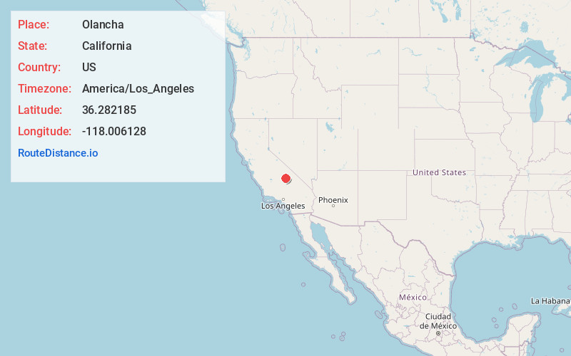
Full AddressOlancha, CA 93549
-
Coordinates36.2821845, -118.0061279
-
LocationOlancha , California , US
-
TimezoneAmerica/Los_Angeles
-
Current Local Time2:50:25 AM America/Los_AngelesFriday, June 20, 2025
-
Page Views0
About Olancha
Olancha is a census-designated place in Inyo County, California, United States. Olancha is located on U.S. Route 395 in California, 37 miles south-southeast of Independence. As of the 2010 census, the population was 192, up from 134 at the 2000 census.


Nearby Places
Found 10 places within 50 miles

Lone Pine
22.6 mi
36.4 km
Lone Pine, CA
Get directions

Independence
37.5 mi
60.4 km
Independence, CA 93526
Get directions

Onyx
42.6 mi
68.6 km
Onyx, CA
Get directions

Kernville
43.3 mi
69.7 km
Kernville, CA
Get directions

Homewood Canyon
43.9 mi
70.7 km
Homewood Canyon, CA 93592
Get directions

Inyokern
45.2 mi
72.7 km
Inyokern, CA
Get directions

Weldon
45.5 mi
73.2 km
Weldon, CA
Get directions

China Lake Acres
46.2 mi
74.4 km
China Lake Acres, CA 93555
Get directions

Springville
46.5 mi
74.8 km
Springville, CA 93265
Get directions

Wofford Heights
47.0 mi
75.6 km
Wofford Heights, CA 93285
Get directions
Location Links
Local Weather
Weather Information
Coming soon!
Location Map
Static map view of Olancha, California
Browse Places by Distance
Places within specific distances from Olancha
Short Distances
Long Distances
Click any distance to see all places within that range from Olancha. Distances shown in miles (1 mile ≈ 1.61 kilometers).