Distance to Mapaville, Missouri

Calculating Your Route
Just a moment while we process your request...
Location Information
-
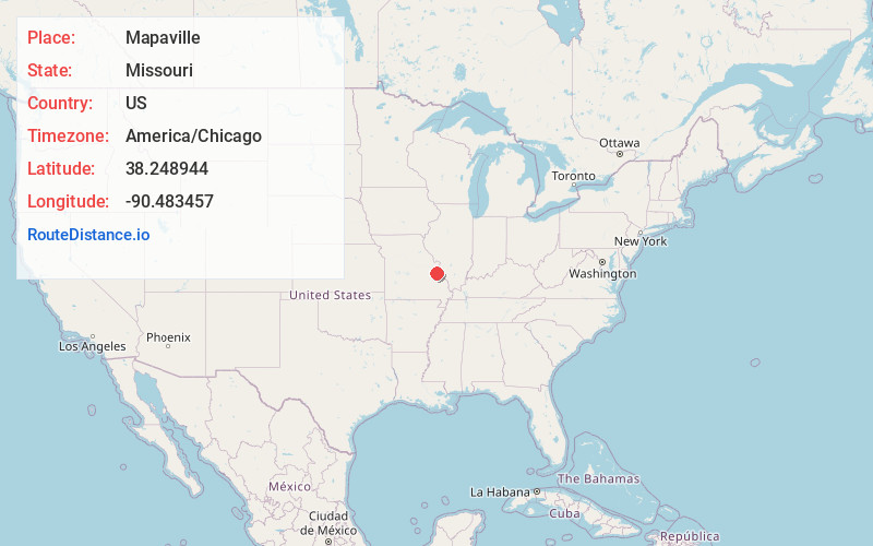
Full AddressMapaville, MO 63050
-
Coordinates38.248944, -90.4834566
-
LocationMapaville , Missouri , US
-
TimezoneAmerica/Chicago
-
Current Local Time5:49:46 AM America/ChicagoSaturday, June 14, 2025
-
Page Views0
About Mapaville
Mapaville is an unincorporated community in Jefferson County, Missouri, United States. It is located approximately halfway between Festus and Hillsboro, at the intersection of routes A and Z.
Nearby Places
Found 10 places within 50 miles

Hematite
3.2 mi
5.1 km
Hematite, MO 63028
Get directions

Horine
3.4 mi
5.5 km
Horine, MO 63070
Get directions

Hillsboro
4.5 mi
7.2 km
Hillsboro, MO 63050
Get directions

Herculaneum
4.9 mi
7.9 km
Herculaneum, MO
Get directions

Festus
5.0 mi
8.0 km
Festus, MO
Get directions

Crystal City
5.5 mi
8.9 km
Crystal City, MO
Get directions

Pevely
5.6 mi
9.0 km
Pevely, MO
Get directions
Olympian Village
7.9 mi
12.7 km
Olympian Village, MO 63020
Get directions

Barnhart
8.2 mi
13.2 km
Barnhart, MO 63012
Get directions

De Soto
8.4 mi
13.5 km
De Soto, MO 63020
Get directions
Location Links
Local Weather
Weather Information
Coming soon!
Location Map
Static map view of Mapaville, Missouri
Browse Places by Distance
Places within specific distances from Mapaville
Short Distances
Long Distances
Click any distance to see all places within that range from Mapaville. Distances shown in miles (1 mile ≈ 1.61 kilometers).