Distance to Maple Leaf, Iowa

Calculating Your Route
Just a moment while we process your request...
Location Information
-
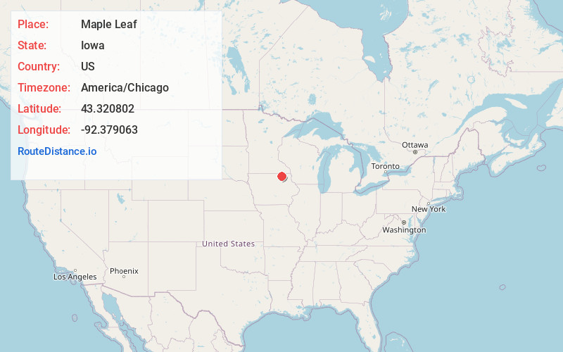
Full AddressMaple Leaf, IA 50628
-
Coordinates43.3208018, -92.3790632
-
LocationIowa , US
-
TimezoneAmerica/Chicago
-
Current Local Time10:44:05 AM America/ChicagoTuesday, May 20, 2025
-
Page Views0
Nearby Places
Found 10 places within 50 miles

Saratoga
3.7 mi
6.0 km
Saratoga, IA 52155
Get directions
Lourdes
5.7 mi
9.2 km
Lourdes, IA 50628
Get directions

Elma
5.9 mi
9.5 km
Elma, IA 50628
Get directions
Schley
8.1 mi
13.0 km
Schley, IA 52136
Get directions
Alta Vista
8.7 mi
14.0 km
Alta Vista, IA 50603
Get directions

Riceville
9.3 mi
15.0 km
Riceville, IA 50466
Get directions

Lime Springs
10.1 mi
16.3 km
Lime Springs, IA 52155
Get directions
Jerico
11.2 mi
18.0 km
Jerico, IA 50659
Get directions
Bonair
11.7 mi
18.8 km
Bonair, IA 52155
Get directions

Chester
11.8 mi
19.0 km
Chester, IA
Get directions
Location Links
Local Weather
Weather Information
Coming soon!
Location Map
Static map view of Maple Leaf, Iowa
Browse Places by Distance
Places within specific distances from Maple Leaf
Short Distances
Long Distances
Click any distance to see all places within that range from Maple Leaf. Distances shown in miles (1 mile ≈ 1.61 kilometers).