Distance to Maple Ridge Township, Minnesota

Calculating Your Route
Just a moment while we process your request...
Location Information
-
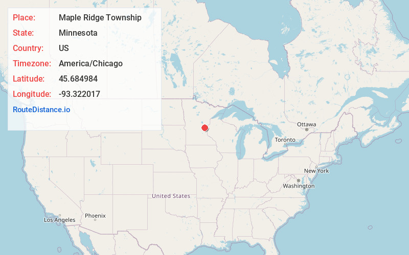
Full AddressMaple Ridge Township, MN
-
Coordinates45.6849837, -93.3220166
-
LocationMaple Ridge Township , Minnesota , US
-
TimezoneAmerica/Chicago
-
Current Local Time3:18:33 AM America/ChicagoSunday, June 1, 2025
-
Page Views0
About Maple Ridge Township
Maple Ridge Township is a township in Isanti County, Minnesota, United States. The population was 737 at the 2000 census.

Nearby Places
Found 10 places within 50 miles

Elm Park
2.4 mi
3.9 km
Elm Park, MN 55080
Get directions

Day
3.2 mi
5.1 km
Day, MN 55006
Get directions
Coin
3.5 mi
5.6 km
Coin, MN 55006
Get directions
Springvale
3.8 mi
6.1 km
Springvale, MN 55008
Get directions
Dalbo
4.1 mi
6.6 km
Dalbo, MN 55017
Get directions
Andree
5.6 mi
9.0 km
Andree, MN 55006
Get directions

Dalbo Township
6.0 mi
9.7 km
Dalbo Township, MN
Get directions
Lewis Lake
6.1 mi
9.8 km
Lewis Lake, MN 55051
Get directions

Grandy
6.8 mi
10.9 km
Grandy, MN
Get directions
Stanchfield
6.8 mi
10.9 km
Stanchfield, MN 55080
Get directions
Location Links
Local Weather
Weather Information
Coming soon!
Location Map
Static map view of Maple Ridge Township, Minnesota
Browse Places by Distance
Places within specific distances from Maple Ridge Township
Short Distances
Long Distances
Click any distance to see all places within that range from Maple Ridge Township. Distances shown in miles (1 mile ≈ 1.61 kilometers).