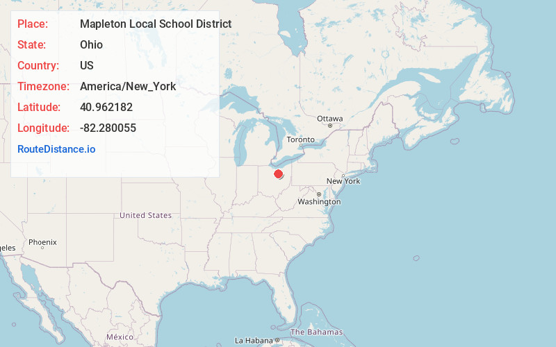
Distance to Mapleton Local School District, Ohio

Calculating Your Route
Just a moment while we process your request...
Location Information
-
Full AddressMapleton Local School District, OH
-
Coordinates40.9621819, -82.2800546
-
LocationOhio , US
-
TimezoneAmerica/New_York
-
Current Local Time8:38:29 AM America/New_YorkFriday, June 6, 2025
-
Website
-
Page Views0
About Mapleton Local School District
The Mapleton Local School District is a public school district in Ashland County, Ohio, United States, located in Orange Township, Ashland County, Ohio.
Nearby Places
Found 10 places within 50 miles

Nankin
2.8 mi
4.5 km
Nankin, OH 44805
Get directions
Polk
3.6 mi
5.8 km
Polk, OH 44866
Get directions

Bailey Lakes
4.2 mi
6.8 km
Bailey Lakes, OH 44805
Get directions
Savannah
4.4 mi
7.1 km
Savannah, OH
Get directions
Cinnamon Lake
4.7 mi
7.6 km
Cinnamon Lake, OH 44287
Get directions

Nova
4.8 mi
7.7 km
Nova, OH 44859
Get directions

Sullivan
5.5 mi
8.9 km
Sullivan, OH 44880
Get directions

Ashland
6.8 mi
10.9 km
Ashland, OH 44805
Get directions
England
8.7 mi
14.0 km
England, Montgomery Township, OH 44805
Get directions
Semples
8.7 mi
14.0 km
Semples, Rochester Township, OH 44851
Get directions
Location Links
Local Weather
Weather Information
Coming soon!
Location Map
Static map view of Mapleton Local School District, Ohio
Browse Places by Distance
Places within specific distances from Mapleton Local School District
Short Distances
Long Distances
Click any distance to see all places within that range from Mapleton Local School District. Distances shown in miles (1 mile ≈ 1.61 kilometers).