Distance to Marble Cliff, Ohio

Calculating Your Route
Just a moment while we process your request...
Location Information
-
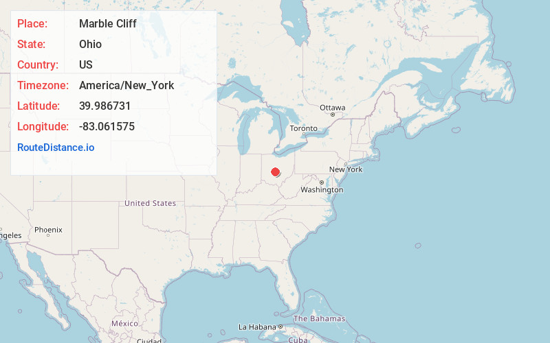
Full AddressMarble Cliff, OH
-
Coordinates39.9867306, -83.0615745
-
LocationMarble Cliff , Ohio , US
-
TimezoneAmerica/New_York
-
Current Local Time4:31:13 PM America/New_YorkThursday, June 5, 2025
-
Page Views0
About Marble Cliff
Marble Cliff is a village in Franklin County, Ohio, United States. The population was 634 at the 2020 census.
Marble Cliff was one of the first suburbs of Columbus, Ohio, settled as a community in 1890 and incorporated as the "Hamlet of Marble Cliff" in 1901.

Nearby Places
Found 10 places within 50 miles

Grandview Heights
1.2 mi
1.9 km
Grandview Heights, OH
Get directions

Upper Arlington
2.7 mi
4.3 km
Upper Arlington, OH
Get directions

Columbus
3.5 mi
5.6 km
Columbus, OH
Get directions

Hilliard
6.0 mi
9.7 km
Hilliard, OH
Get directions

Urbancrest
6.3 mi
10.1 km
Urbancrest, OH 43123
Get directions

Bexley
6.7 mi
10.8 km
Bexley, OH 43209
Get directions

Grove City
7.4 mi
11.9 km
Grove City, OH
Get directions

Worthington
7.7 mi
12.4 km
Worthington, OH
Get directions

Dublin
9.0 mi
14.5 km
Dublin, OH
Get directions

Lake Darby
9.1 mi
14.6 km
Lake Darby, OH 43119
Get directions
Location Links
Local Weather
Weather Information
Coming soon!
Location Map
Static map view of Marble Cliff, Ohio
Browse Places by Distance
Places within specific distances from Marble Cliff
Short Distances
Long Distances
Click any distance to see all places within that range from Marble Cliff. Distances shown in miles (1 mile ≈ 1.61 kilometers).