Distance to Marble Rock, Iowa

Calculating Your Route
Just a moment while we process your request...
Location Information
-
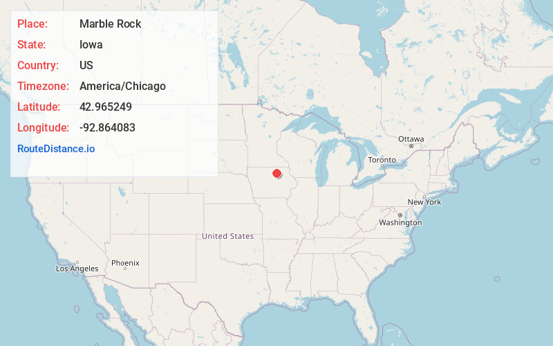
Full AddressMarble Rock, IA 50653
-
Coordinates42.965249, -92.8640832
-
LocationMarble Rock , Iowa , US
-
TimezoneAmerica/Chicago
-
Current Local Time11:49:13 PM America/ChicagoSaturday, June 21, 2025
-
Page Views0
About Marble Rock
Marble Rock is a city in Floyd County, Iowa, United States, along the Shell Rock River. The population was 271 at the time of the 2020 census. Marble Rock has a city park, historical museums, a powerhouse on the river, and a veterans' memorial.
Nearby Places
Found 10 places within 50 miles

Greene
5.7 mi
9.2 km
Greene, IA 50636
Get directions

Rockford
7.4 mi
11.9 km
Rockford, IA 50468
Get directions

Rudd
11.3 mi
18.2 km
Rudd, IA 50471
Get directions

Charles City
11.9 mi
19.2 km
Charles City, IA 50616
Get directions

Floyd
13.0 mi
20.9 km
Floyd, IA 50435
Get directions

Nora Springs
14.2 mi
22.9 km
Nora Springs, IA 50458
Get directions

Allison
15.0 mi
24.1 km
Allison, IA 50602
Get directions
Dumont
15.9 mi
25.6 km
Dumont, IA 50625
Get directions
Clarksville
16.0 mi
25.7 km
Clarksville, IA 50619
Get directions

Nashua
16.5 mi
26.6 km
Nashua, IA 50658
Get directions
Location Links
Local Weather
Weather Information
Coming soon!
Location Map
Static map view of Marble Rock, Iowa
Browse Places by Distance
Places within specific distances from Marble Rock
Short Distances
Long Distances
Click any distance to see all places within that range from Marble Rock. Distances shown in miles (1 mile ≈ 1.61 kilometers).