Distance to Marbury, Maryland

Calculating Your Route
Just a moment while we process your request...
Location Information
-
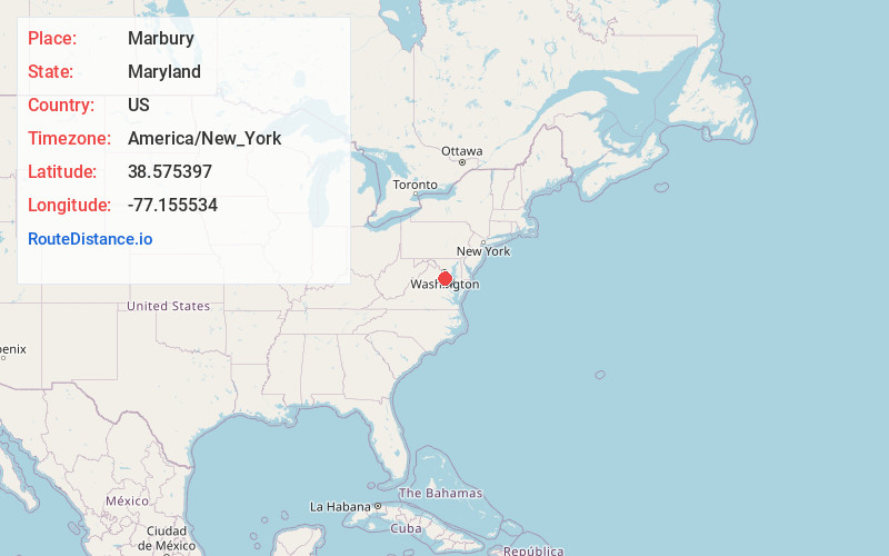
Full AddressMarbury, MD 20658
-
Coordinates38.5753971, -77.1555343
-
LocationMarbury , Maryland , US
-
TimezoneAmerica/New_York
-
Current Local Time1:54:28 AM America/New_YorkSunday, June 1, 2025
-
Page Views0
About Marbury
Marbury is an unincorporated community in Charles County, Maryland, United States. It has been designated the zip code of 20658.
Marbury is located 6.3 miles from Indian Head on Maryland Route 224.
Nearby Places
Found 10 places within 50 miles

Indian Head
1.7 mi
2.7 km
Indian Head, MD 20640
Get directions

Potomac Heights
2.4 mi
3.9 km
Potomac Heights, MD 20640
Get directions
Pomonkey
5.1 mi
8.2 km
Pomonkey, Bryans Road, MD 20646
Get directions

Bryans Road
5.7 mi
9.2 km
Bryans Road, MD
Get directions
Mason Neck
5.9 mi
9.5 km
Mason Neck, VA 22079
Get directions
Cherry Hill
6.0 mi
9.7 km
Cherry Hill, VA 22026
Get directions
Hill Top
6.2 mi
10.0 km
Hill Top, MD 20646
Get directions
Featherstone Shores
6.3 mi
10.1 km
Featherstone Shores, Woodbridge, VA 22191
Get directions
Pomfret
6.8 mi
10.9 km
Pomfret, MD
Get directions

Woodbridge
7.7 mi
12.4 km
Woodbridge, VA 22191
Get directions
Location Links
Local Weather
Weather Information
Coming soon!
Location Map
Static map view of Marbury, Maryland
Browse Places by Distance
Places within specific distances from Marbury
Short Distances
Long Distances
Click any distance to see all places within that range from Marbury. Distances shown in miles (1 mile ≈ 1.61 kilometers).