Distance to Maria Hernandez Park, New York

Calculating Your Route
Just a moment while we process your request...
Location Information
-
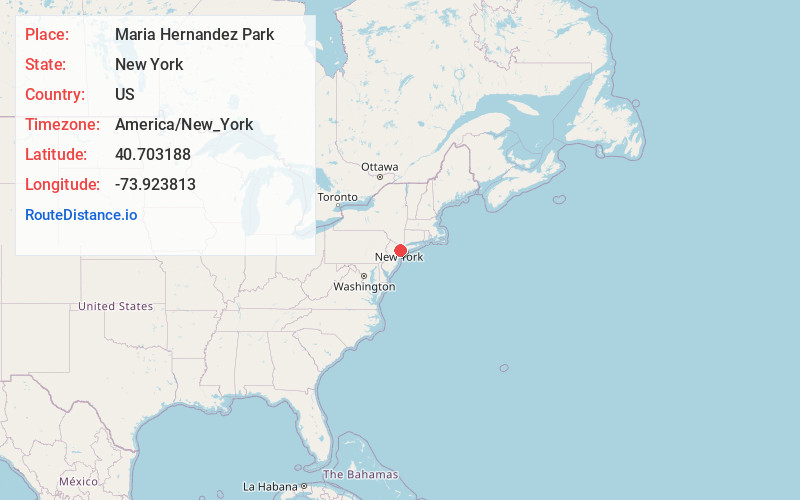
Full AddressP33G+7F Maria Hernandez Park, Brooklyn, NY 11237
-
Coordinates40.7031875, -73.9238125
-
StreetP33G+7F
-
NeighborhoodBushwick
-
LocationBrooklyn , New York , US
-
TimezoneAmerica/New_York
-
Current Local Time9:18:06 PM America/New_YorkFriday, June 6, 2025
-
Page Views0
About Maria Hernandez Park
Named for an anti-drug crusader, this park offers shady benches, a basketball court & a playground.


Nearby Places
Found 10 places within 50 miles

Brooklyn
2.0 mi
3.2 km
Brooklyn, NY
Get directions

Brooklyn Botanic Garden
3.2 mi
5.1 km
Brooklyn Botanic Garden, Brooklyn, NY 11238
Get directions

Prospect Park
3.8 mi
6.1 km
Prospect Park, Brooklyn, NY
Get directions

Quaker Hill
3.8 mi
6.1 km
Quaker Hill, Brooklyn, NY 11215
Get directions

New York
4.4 mi
7.1 km
New York, NY
Get directions

East River
5.4 mi
8.7 km
East River, New York, NY
Get directions

Hoboken
6.1 mi
9.8 km
Hoboken, NJ
Get directions

Jersey City
6.3 mi
10.1 km
Jersey City, NJ
Get directions

Liberty Island
6.4 mi
10.3 km
Liberty Island, New York, NY 10004
Get directions

Weehawken Township
6.9 mi
11.1 km
Weehawken Township, NJ 07086
Get directions
Location Links
Local Weather
Weather Information
Coming soon!
Location Map
Static map view of Maria Hernandez Park, New York
Browse Places by Distance
Places within specific distances from Maria Hernandez Park
Short Distances
Long Distances
Click any distance to see all places within that range from Maria Hernandez Park. Distances shown in miles (1 mile ≈ 1.61 kilometers).