Distance to and from Marion County, Florida
Marion County, FL
Florida
US
America/New_York
Location Information
-
Full AddressMarion County, FL
-
Coordinates29.2787765, -82.12784
-
LocationFlorida , US
-
TimezoneAmerica/New_York
-
Current Local Time4:36:34 PM America/New_YorkSaturday, May 3, 2025
-
Page Views0
Directions to Nearest Cities
About Marion County
Marion County is a county located in the North Central region of the U.S. state of Florida. As of the 2020 United States census, the population was 375,908. Its county seat is Ocala. Marion County comprises the Ocala, Florida Metropolitan Statistical Area.


Nearby Places
Found 10 places within 50 miles

Anthony
1.2 mi
1.9 km
Anthony, FL
Get directions

Silver Springs
6.0 mi
9.7 km
Silver Springs, FL
Get directions

Ocala
6.5 mi
10.5 km
Ocala, FL
Get directions

Reddick
7.4 mi
11.9 km
Reddick, FL 32686
Get directions

Citra
9.3 mi
15.0 km
Citra, FL 32113
Get directions

Montague
9.4 mi
15.1 km
Montague, Ocala, FL 34480
Get directions
Grahamsville
10.3 mi
16.6 km
Grahamsville, FL 34488
Get directions
Mt Olive
10.9 mi
17.5 km
Mt Olive, FL 34482
Get directions

Fort McCoy
11.4 mi
18.3 km
Fort McCoy, FL 32134
Get directions
Lacota
12.6 mi
20.3 km
Lacota, FL 34488
Get directions
Anthony
1.2 mi
1.9 km
Anthony, FL
Silver Springs
6.0 mi
9.7 km
Silver Springs, FL
Ocala
6.5 mi
10.5 km
Ocala, FL
Reddick
7.4 mi
11.9 km
Reddick, FL 32686
Citra
9.3 mi
15.0 km
Citra, FL 32113
Montague
9.4 mi
15.1 km
Montague, Ocala, FL 34480
Grahamsville
10.3 mi
16.6 km
Grahamsville, FL 34488
Mt Olive
10.9 mi
17.5 km
Mt Olive, FL 34482
Fort McCoy
11.4 mi
18.3 km
Fort McCoy, FL 32134
Lacota
12.6 mi
20.3 km
Lacota, FL 34488
Location Links
Local Weather
Weather Information
Coming soon!
Location Map
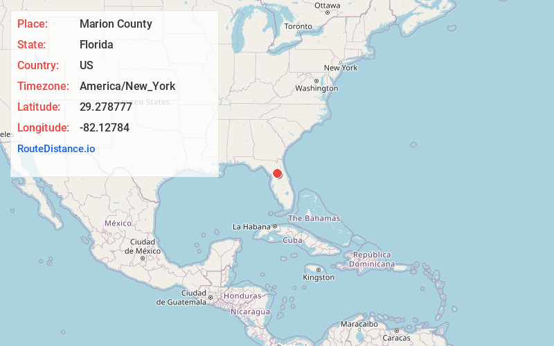
Static map view of Marion County, Florida
Browse Places by Distance
Places within specific distances from Marion County
Short Distances
Long Distances
Click any distance to see all places within that range from Marion County. Distances shown in miles (1 mile ≈ 1.61 kilometers).