Distance to Mariposa County, California

Calculating Your Route
Just a moment while we process your request...
Location Information
-
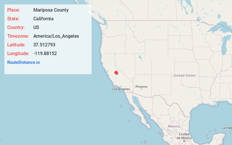
Full AddressMariposa County, CA
-
Coordinates37.5127928, -119.8815203
-
LocationCalifornia , US
-
TimezoneAmerica/Los_Angeles
-
Current Local Time1:02:16 PM America/Los_AngelesTuesday, June 3, 2025
-
Website
-
Page Views0
About Mariposa County
Mariposa County is a county located in the U.S. state of California. As of the 2020 U.S. Census, the population was 17,131. The county seat is Mariposa. It is located in the western foothills of the Sierra Nevada mountains, north of Fresno, east of Merced, and southeast of Stockton.


Nearby Places
Found 10 places within 50 miles

Darrah
2.6 mi
4.2 km
Darrah, CA 95338
Get directions

Bootjack
3.3 mi
5.3 km
Bootjack, CA 95338
Get directions

Midpines
3.5 mi
5.6 km
Midpines, CA
Get directions
Mormon Bar
5.1 mi
8.2 km
Mormon Bar, Mariposa, CA 95338
Get directions

Mariposa
5.2 mi
8.4 km
Mariposa, CA 95338
Get directions
Elliott Corner
6.8 mi
10.9 km
Elliott Corner, CA 95338
Get directions
Leaning Pine Hill
7.6 mi
12.2 km
Leaning Pine Hill, California 95338
Get directions

Agua Fria
7.8 mi
12.6 km
Agua Fria, CA 95338
Get directions

Briceburg
7.8 mi
12.6 km
Briceburg, CA 95345
Get directions

Ponderosa Basin
8.6 mi
13.8 km
Ponderosa Basin, CA 95338
Get directions
Location Links
Local Weather
Weather Information
Coming soon!
Location Map
Static map view of Mariposa County, California
Browse Places by Distance
Places within specific distances from Mariposa County
Short Distances
Long Distances
Click any distance to see all places within that range from Mariposa County. Distances shown in miles (1 mile ≈ 1.61 kilometers).