Distance to Briceburg, California

Calculating Your Route
Just a moment while we process your request...
Location Information
-
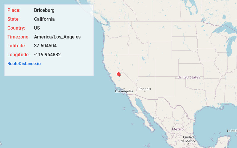
Full AddressBriceburg, CA 95345
-
Coordinates37.604504, -119.964882
-
LocationBriceburg , California , US
-
TimezoneAmerica/Los_Angeles
-
Current Local Time10:52:31 PM America/Los_AngelesFriday, June 6, 2025
-
Page Views0
About Briceburg
Briceburg is an unincorporated community in Mariposa County, California. It is located on the Merced River near the confluence with Bear Creek, 5 miles north-northwest of Midpines. It is accessed via a bridge over the Merced River that connects Highway 140 with Briceburg Road.


Nearby Places
Found 10 places within 50 miles

Midpines
4.3 mi
6.9 km
Midpines, CA
Get directions

Incline
7.5 mi
12.1 km
Incline, CA 95318
Get directions

Mariposa
7.7 mi
12.4 km
Mariposa, CA 95338
Get directions
Mt Bullion
8.0 mi
12.9 km
Mt Bullion, CA 95338
Get directions

Bootjack
10.6 mi
17.1 km
Bootjack, CA 95338
Get directions

El Portal
11.4 mi
18.3 km
El Portal, CA
Get directions
Greeley Hill
13.2 mi
21.2 km
Greeley Hill, CA
Get directions

Foresta
13.4 mi
21.6 km
Foresta, CA
Get directions

Catheys Valley
14.0 mi
22.5 km
Catheys Valley, CA
Get directions
Harden Flat
14.3 mi
23.0 km
Harden Flat, CA 95321
Get directions
Location Links
Local Weather
Weather Information
Coming soon!
Location Map
Static map view of Briceburg, California
Browse Places by Distance
Places within specific distances from Briceburg
Short Distances
Long Distances
Click any distance to see all places within that range from Briceburg. Distances shown in miles (1 mile ≈ 1.61 kilometers).