Distance to Incline, California

Calculating Your Route
Just a moment while we process your request...
Location Information
-
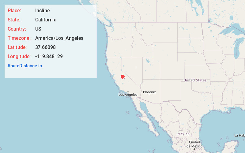
Full AddressIncline, CA 95318
-
Coordinates37.66098, -119.848129
-
LocationIncline , California , US
-
TimezoneAmerica/Los_Angeles
-
Current Local Time4:29:22 AM America/Los_AngelesFriday, May 23, 2025
-
Page Views0
About Incline
Incline is an unincorporated community in Mariposa County, California. It is located on the south bank of the Merced River and on the Yosemite Valley Railroad 4 miles west-southwest of El Portal, at an elevation of 1519 feet.
A post office operated at Incline from 1924 to 1953.
Nearby Places
Found 10 places within 50 miles

El Portal
4.0 mi
6.4 km
El Portal, CA
Get directions

Foresta
5.9 mi
9.5 km
Foresta, CA
Get directions

Midpines
8.6 mi
13.8 km
Midpines, CA
Get directions

Harden Flat
11.7 mi
18.8 km
Harden Flat, CA 95321
Get directions

Mariposa
13.5 mi
21.7 km
Mariposa, CA 95338
Get directions

Wawona
13.7 mi
22.0 km
Wawona, CA 95389
Get directions

Bootjack
13.7 mi
22.0 km
Bootjack, CA 95338
Get directions
Mt Bullion
15.1 mi
24.3 km
Mt Bullion, CA 95338
Get directions

Yosemite Valley
15.1 mi
24.3 km
Yosemite Valley, CA 95389
Get directions

Buck Meadows
15.8 mi
25.4 km
Buck Meadows, CA 95321
Get directions
Location Links
Local Weather
Weather Information
Coming soon!
Location Map
Static map view of Incline, California
Browse Places by Distance
Places within specific distances from Incline
Short Distances
Long Distances
Click any distance to see all places within that range from Incline. Distances shown in miles (1 mile ≈ 1.61 kilometers).