Distance to Marlow, New Hampshire

Calculating Your Route
Just a moment while we process your request...
Location Information
-
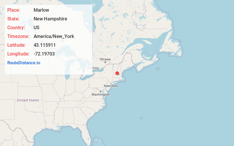
Full AddressMarlow, NH
-
Coordinates43.1159114, -72.1970297
-
LocationMarlow , New Hampshire , US
-
TimezoneAmerica/New_York
-
Current Local Time1:45:50 AM America/New_YorkSunday, June 1, 2025
-
Page Views0
About Marlow
Marlow is a town in Cheshire County, New Hampshire, United States. The population was 749 at the 2020 census. Marlow is home to Honey Brook State Forest.


Nearby Places
Found 10 places within 50 miles

Stoddard
5.0 mi
8.0 km
Stoddard, NH
Get directions

Gilsum
5.7 mi
9.2 km
Gilsum, NH
Get directions

Washington
6.6 mi
10.6 km
Washington, NH
Get directions

Lempster
7.7 mi
12.4 km
Lempster, NH
Get directions
Acworth
8.6 mi
13.8 km
Acworth, NH
Get directions

Alstead
8.6 mi
13.8 km
Alstead, NH 03602
Get directions
Surry
9.2 mi
14.8 km
Surry, NH
Get directions

Walpole
11.8 mi
19.0 km
Walpole, NH
Get directions

Harrisville
12.9 mi
20.8 km
Harrisville, NH
Get directions

Goshen
13.0 mi
20.9 km
Goshen, NH 03752
Get directions
Location Links
Local Weather
Weather Information
Coming soon!
Location Map
Static map view of Marlow, New Hampshire
Browse Places by Distance
Places within specific distances from Marlow
Short Distances
Long Distances
Click any distance to see all places within that range from Marlow. Distances shown in miles (1 mile ≈ 1.61 kilometers).