Distance to Alstead, New Hampshire

Calculating Your Route
Just a moment while we process your request...
Location Information
-
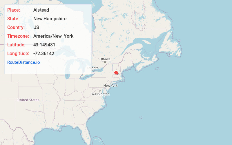
Full AddressAlstead, NH 03602
-
Coordinates43.149481, -72.3614201
-
LocationAlstead , New Hampshire , US
-
TimezoneAmerica/New_York
-
Current Local Time7:02:59 PM America/New_YorkTuesday, June 17, 2025
-
Page Views0
About Alstead
Alstead is a town in Cheshire County, New Hampshire, United States. The population was 1,864 at the 2020 census. Alstead is home to Feuer State Forest.


Nearby Places
Found 10 places within 50 miles

Walpole
5.8 mi
9.3 km
Walpole, NH
Get directions

Charlestown
6.4 mi
10.3 km
Charlestown, NH 03603
Get directions

Town of Rockingham
6.9 mi
11.1 km
Town of Rockingham, VT
Get directions

Westminster
7.5 mi
12.1 km
Westminster, VT
Get directions

Springfield
12.0 mi
19.3 km
Springfield, VT
Get directions

Westmoreland
13.6 mi
21.9 km
Westmoreland, NH
Get directions

Chester
14.1 mi
22.7 km
Chester, VT 05143
Get directions

Putney
14.5 mi
23.3 km
Putney, VT 05346
Get directions

Claremont
15.5 mi
24.9 km
Claremont, NH
Get directions

Keene
15.5 mi
24.9 km
Keene, NH
Get directions
Location Links
Local Weather
Weather Information
Coming soon!
Location Map
Static map view of Alstead, New Hampshire
Browse Places by Distance
Places within specific distances from Alstead
Short Distances
Long Distances
Click any distance to see all places within that range from Alstead. Distances shown in miles (1 mile ≈ 1.61 kilometers).