Distance to Marshdale, Colorado

Calculating Your Route
Just a moment while we process your request...
Location Information
-
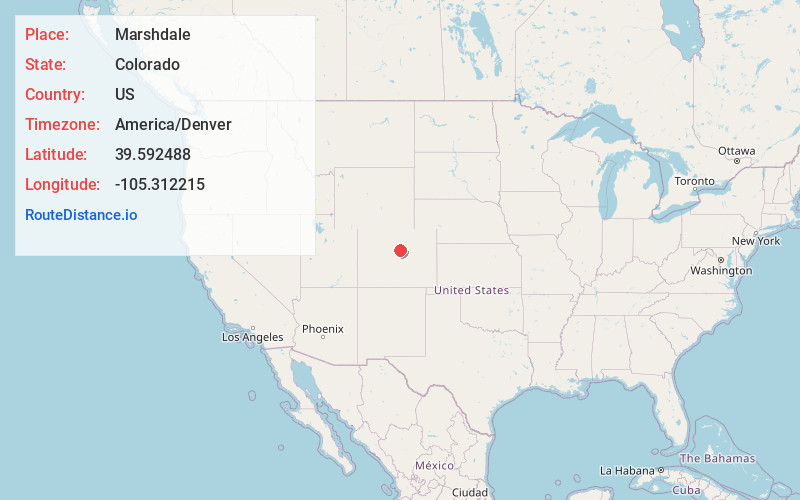
Full AddressMarshdale, Evergreen Meadows, CO 80439
-
Coordinates39.5924882, -105.3122149
-
NeighborhoodEvergreen Meadows
-
LocationEvergreen Meadows , Colorado , US
-
TimezoneAmerica/Denver
-
Current Local Time9:35:59 PM America/DenverThursday, May 29, 2025
-
Page Views0


Nearby Places
Found 10 places within 50 miles

Jefferson County
2.6 mi
4.2 km
Jefferson County, CO
Get directions

Evergreen
2.8 mi
4.5 km
Evergreen, CO 80439
Get directions

Aspen Park
3.5 mi
5.6 km
Aspen Park, CO
Get directions

Indian Hills
4.3 mi
6.9 km
Indian Hills, CO
Get directions

Kittredge
4.4 mi
7.1 km
Kittredge, CO
Get directions
Witter Gulch
5.4 mi
8.7 km
Witter Gulch, Colorado 80439
Get directions

Upper Bear Creek
5.8 mi
9.3 km
Upper Bear Creek, CO 80439
Get directions

Idledale
6.2 mi
10.0 km
Idledale, CO
Get directions
Brookvale
6.2 mi
10.0 km
Brookvale, Upper Bear Creek, CO 80439
Get directions

Genesee
7.1 mi
11.4 km
Genesee, CO
Get directions
Location Links
Local Weather
Weather Information
Coming soon!
Location Map
Static map view of Marshdale, Colorado
Browse Places by Distance
Places within specific distances from Marshdale
Short Distances
Long Distances
Click any distance to see all places within that range from Marshdale. Distances shown in miles (1 mile ≈ 1.61 kilometers).