Distance to Marvel, Colorado

Calculating Your Route
Just a moment while we process your request...
Location Information
-
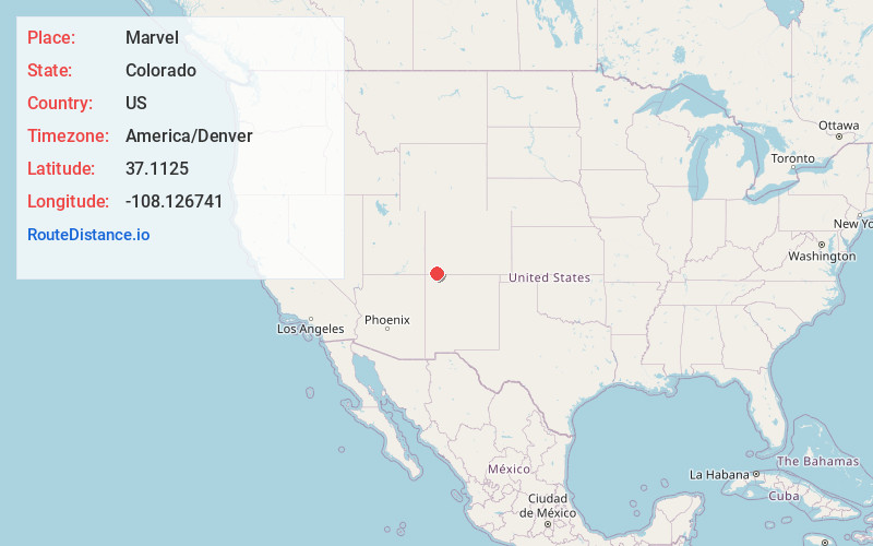
Full AddressMarvel, CO 81326
-
Coordinates37.1125001, -108.1267413
-
LocationMarvel , Colorado , US
-
TimezoneAmerica/Denver
-
Current Local Time1:47:49 PM America/DenverTuesday, June 10, 2025
-
Page Views0
About Marvel
Marvel is a census-designated place and post office on the Southern Ute Indian Reservation in southwestern La Plata County, Colorado, United States. The population was 68 at the 2020 census. The CDP is a part of the Durango, CO Micropolitan Statistical Area. The Marvel post office has the ZIP Code 81329.

Nearby Places
Found 10 places within 50 miles

La Plata
13.2 mi
21.2 km
La Plata, NM
Get directions

Durango
17.6 mi
28.3 km
Durango, CO
Get directions

Mancos
18.4 mi
29.6 km
Mancos, CO 81328
Get directions

Flora Vista
22.1 mi
35.6 km
Flora Vista, NM
Get directions

Farmington
27.0 mi
43.5 km
Farmington, NM
Get directions

Ignacio
27.2 mi
43.8 km
Ignacio, CO 81137
Get directions

Kirtland
28.2 mi
45.4 km
Kirtland, NM
Get directions

Bloomfield
28.8 mi
46.3 km
Bloomfield, NM
Get directions
Lee Acres
29.0 mi
46.7 km
Lee Acres, NM 87401
Get directions

Upper Fruitland
29.4 mi
47.3 km
Upper Fruitland, NM
Get directions
Location Links
Local Weather
Weather Information
Coming soon!
Location Map
Static map view of Marvel, Colorado
Browse Places by Distance
Places within specific distances from Marvel
Short Distances
Long Distances
Click any distance to see all places within that range from Marvel. Distances shown in miles (1 mile ≈ 1.61 kilometers).