Distance to Mascot, Nebraska

Calculating Your Route
Just a moment while we process your request...
Location Information
-
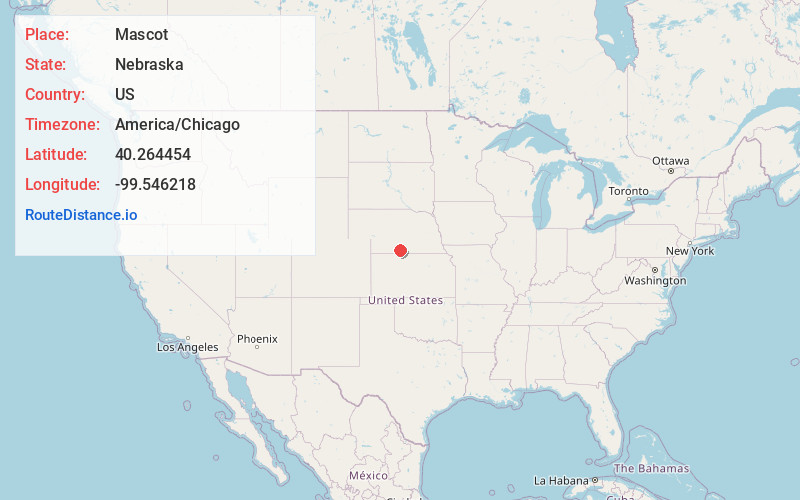
Full AddressMascot, NE 68967
-
Coordinates40.264454, -99.5462183
-
LocationMascot , Nebraska , US
-
TimezoneAmerica/Chicago
-
Current Local Time2:16:59 AM America/ChicagoMonday, June 2, 2025
-
Page Views0
About Mascot
Mascot is an unincorporated community in Harlan County, Nebraska, United States.
Nearby Places
Found 10 places within 50 miles

Oxford
4.8 mi
7.7 km
Oxford, NE 68967
Get directions

Atlanta
8.2 mi
13.2 km
Atlanta, NE 68923
Get directions

Stamford
9.6 mi
15.4 km
Stamford, NE 68977
Get directions

Orleans
10.4 mi
16.7 km
Orleans, NE 68966
Get directions
Edison
12.2 mi
19.6 km
Edison, NE
Get directions
Ragan
13.9 mi
22.4 km
Ragan, NE 68969
Get directions
Huntley
13.9 mi
22.4 km
Huntley, NE 68971
Get directions
Loomis
15.0 mi
24.1 km
Loomis, NE 68958
Get directions

Alma
15.1 mi
24.3 km
Alma, NE 68920
Get directions

Holdrege
15.3 mi
24.6 km
Holdrege, NE 68949
Get directions
Location Links
Local Weather
Weather Information
Coming soon!
Location Map
Static map view of Mascot, Nebraska
Browse Places by Distance
Places within specific distances from Mascot
Short Distances
Long Distances
Click any distance to see all places within that range from Mascot. Distances shown in miles (1 mile ≈ 1.61 kilometers).