Distance to Matthews, Texas

Calculating Your Route
Just a moment while we process your request...
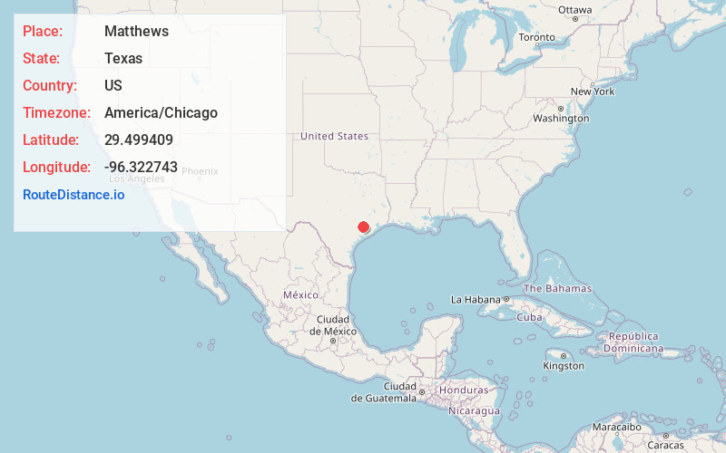
Location Information
-
Full AddressMatthews, TX 77434
-
Coordinates29.4994091, -96.3227432
-
LocationTexas , US
-
TimezoneAmerica/Chicago
-
Current Local Time5:58:21 PM America/ChicagoSunday, May 25, 2025
-
Page Views0
About Matthews
Matthews is an unincorporated community on the southeastern edge of Colorado County, in the U.S. state of Texas. The community is located south of Eagle Lake near the junction of FM 102 and FM 950. The settlement was named for a man who owned a plantation in the area before the Civil War.
Nearby Places
Found 10 places within 50 miles

Elm Grove
4.0 mi
6.4 km
Elm Grove, TX 77434
Get directions

Garwood
5.6 mi
9.0 km
Garwood, TX
Get directions

Eagle Lake
6.3 mi
10.1 km
Eagle Lake, TX 77434
Get directions
Nada
7.6 mi
12.2 km
Nada, TX
Get directions
Hoefer
8.6 mi
13.8 km
Hoefer, TX 77435
Get directions
Beard
13.0 mi
20.9 km
Beard, TX 77474
Get directions
Glen Flora
13.1 mi
21.1 km
Glen Flora, TX
Get directions
New Taiton
13.2 mi
21.2 km
New Taiton, TX 77437
Get directions
Sorrelle
14.8 mi
23.8 km
Sorrelle, TX 77488
Get directions
Rock Island
15.3 mi
24.6 km
Rock Island, TX
Get directions
Location Links
Local Weather
Weather Information
Coming soon!
Location Map
Static map view of Matthews, Texas
Browse Places by Distance
Places within specific distances from Matthews
Short Distances
Long Distances
Click any distance to see all places within that range from Matthews. Distances shown in miles (1 mile ≈ 1.61 kilometers).