Distance to Maudlow, Montana

Calculating Your Route
Just a moment while we process your request...
Location Information
-
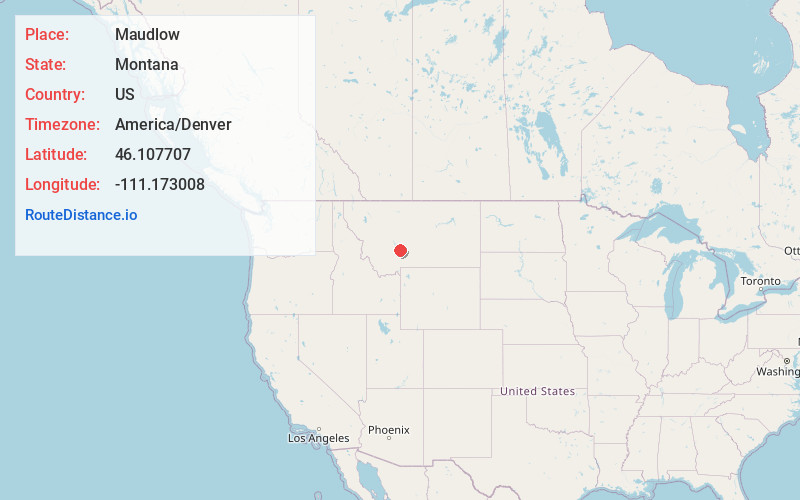
Full AddressMaudlow, MT 59714
-
Coordinates46.1077074, -111.1730081
-
LocationMaudlow , Montana , US
-
TimezoneAmerica/Denver
-
Current Local Time2:37:31 PM America/DenverSaturday, June 7, 2025
-
Page Views0
About Maudlow
Maudlow is a small unincorporated community in northern Gallatin County, Montana, United States. The town was a station stop on the transcontinental main line of the Chicago, Milwaukee, St. Paul and Pacific Railroad, and was a community center for a small number of area ranchers and homesteaders.


Nearby Places
Found 10 places within 50 miles

Deer Park
5.0 mi
8.0 km
Deer Park, MT 59714
Get directions
Menard
9.3 mi
15.0 km
Menard, MT 59714
Get directions
Menard Wye
9.7 mi
15.6 km
Menard Wye, MT 59714
Get directions
Lombard Hill
10.7 mi
17.2 km
Lombard Hill, Montana 59643
Get directions
Accola
10.9 mi
17.5 km
Accola, MT 59714
Get directions
Sixteen
11.2 mi
18.0 km
Sixteen, MT 59645
Get directions

Toston
13.6 mi
21.9 km
Toston, MT 59643
Get directions
Edilou
15.9 mi
25.6 km
Edilou, MT 59714
Get directions
Gallatin River Ranch
16.0 mi
25.7 km
Gallatin River Ranch, MT
Get directions
Eustis
16.3 mi
26.2 km
Eustis, MT 59752
Get directions
Location Links
Local Weather
Weather Information
Coming soon!
Location Map
Static map view of Maudlow, Montana
Browse Places by Distance
Places within specific distances from Maudlow
Short Distances
Long Distances
Click any distance to see all places within that range from Maudlow. Distances shown in miles (1 mile ≈ 1.61 kilometers).