Distance to Maurice, Iowa

Calculating Your Route
Just a moment while we process your request...
Location Information
-
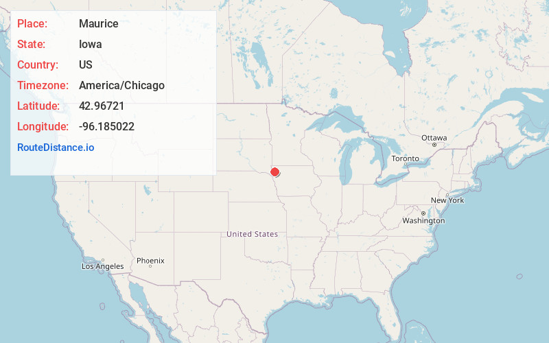
Full AddressMaurice, IA 51036
-
Coordinates42.9672095, -96.1850216
-
LocationMaurice , Iowa , US
-
TimezoneAmerica/Chicago
-
Current Local Time12:34:28 AM America/ChicagoSunday, June 8, 2025
-
Page Views0
About Maurice
Maurice is a city in Sioux County, Iowa, United States, along the West Branch of the Floyd River. The population was 265 at the time of the 2020 census. It is home to the Sioux County Regional Airport and the "Famous Maurice Fire Escape Slide" in the town park.

Nearby Places
Found 10 places within 50 miles

Ireton
6.8 mi
10.9 km
Ireton, IA 51027
Get directions

Orange City
7.0 mi
11.3 km
Orange City, IA
Get directions

Sioux Center
7.8 mi
12.6 km
Sioux Center, IA 51250
Get directions

Alton
8.9 mi
14.3 km
Alton, IA 51003
Get directions

Le Mars
12.0 mi
19.3 km
Le Mars, IA 51031
Get directions

Remsen
15.1 mi
24.3 km
Remsen, IA 51050
Get directions

Hawarden
15.5 mi
24.9 km
Hawarden, IA 51023
Get directions

Hull
15.5 mi
24.9 km
Hull, IA 51239
Get directions

Granville
15.8 mi
25.4 km
Granville, IA 51022
Get directions

Hospers
15.9 mi
25.6 km
Hospers, IA 51238
Get directions
Location Links
Local Weather
Weather Information
Coming soon!
Location Map
Static map view of Maurice, Iowa
Browse Places by Distance
Places within specific distances from Maurice
Short Distances
Long Distances
Click any distance to see all places within that range from Maurice. Distances shown in miles (1 mile ≈ 1.61 kilometers).