Distance to Mazama, Washington

Calculating Your Route
Just a moment while we process your request...
Location Information
-
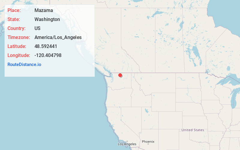
Full AddressMazama, WA 98862
-
Coordinates48.5924412, -120.4047978
-
LocationMazama , Washington , US
-
TimezoneAmerica/Los_Angeles
-
Current Local Time7:30:15 AM America/Los_AngelesMonday, June 23, 2025
-
Page Views0
About Mazama
Mazama
is an unincorporated community in Okanogan County located in the Methow Valley of Washington, on the east slopes of the North Cascades and North Cascades National Park. It is located along the North Cascades Highway, 14 miles northwest of Winthrop and about 28 miles south of the Canada–United States border.


Nearby Places
Found 10 places within 50 miles

Gilbert
11.8 mi
19.0 km
Gilbert, WA 98862
Get directions

Winthrop
12.8 mi
20.6 km
Winthrop, WA 98862
Get directions

Barron
18.0 mi
29.0 km
Barron, WA 98862
Get directions

Twisp
20.4 mi
32.8 km
Twisp, WA 98856
Get directions

Stehekin
22.7 mi
36.5 km
Stehekin, WA 98852
Get directions

Conconully
30.0 mi
48.3 km
Conconully, WA
Get directions

Ruby
31.7 mi
51.0 km
Ruby, WA 98840
Get directions
Olema
34.8 mi
56.0 km
Olema, WA 98812
Get directions

Methow
36.9 mi
59.4 km
Methow, WA
Get directions

Malott
38.5 mi
62.0 km
Malott, WA
Get directions
Location Links
Local Weather
Weather Information
Coming soon!
Location Map
Static map view of Mazama, Washington
Browse Places by Distance
Places within specific distances from Mazama
Short Distances
Long Distances
Click any distance to see all places within that range from Mazama. Distances shown in miles (1 mile ≈ 1.61 kilometers).