Distance to Mazeppa, Minnesota

Calculating Your Route
Just a moment while we process your request...
Location Information
-
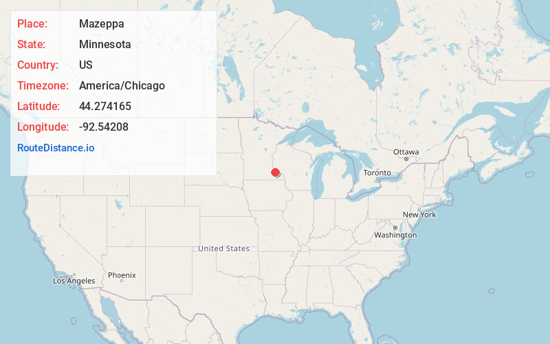
Full AddressMazeppa, MN
-
Coordinates44.2741649, -92.5420799
-
LocationMazeppa , Minnesota , US
-
TimezoneAmerica/Chicago
-
Current Local Time3:00:03 PM America/ChicagoSunday, June 22, 2025
-
Page Views0
About Mazeppa
Mazeppa is a city in Wabasha County, Minnesota, United States, along the North Fork of the Zumbro River. The population was 874 at the 2020 census.
Nearby Places
Found 10 places within 50 miles

Zumbrota
6.4 mi
10.3 km
Zumbrota, MN 55992
Get directions

Pine Island
7.2 mi
11.6 km
Pine Island, MN
Get directions

Oronoco
7.5 mi
12.1 km
Oronoco, MN 55960
Get directions

Goodhue
9.6 mi
15.4 km
Goodhue, MN 55027
Get directions

Wanamingo
12.5 mi
20.1 km
Wanamingo, MN 55983
Get directions

Byron
17.5 mi
28.2 km
Byron, MN 55920
Get directions

Elgin
17.5 mi
28.2 km
Elgin, MN 55932
Get directions

Mantorville
17.7 mi
28.5 km
Mantorville, MN
Get directions

Rochester
18.1 mi
29.1 km
Rochester, MN
Get directions

Lake City
18.2 mi
29.3 km
Lake City, MN 55041
Get directions
Location Links
Local Weather
Weather Information
Coming soon!
Location Map
Static map view of Mazeppa, Minnesota
Browse Places by Distance
Places within specific distances from Mazeppa
Short Distances
Long Distances
Click any distance to see all places within that range from Mazeppa. Distances shown in miles (1 mile ≈ 1.61 kilometers).