Distance to McAllister, Montana

Calculating Your Route
Just a moment while we process your request...
Location Information
-
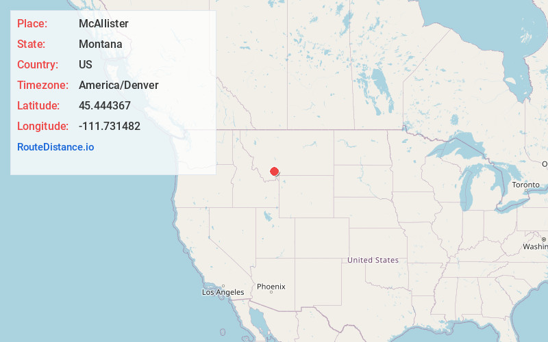
Full AddressMcAllister, MT
-
Coordinates45.444367, -111.7314823
-
LocationMcAllister , Montana , US
-
TimezoneAmerica/Denver
-
Current Local Time1:13:18 PM America/DenverSunday, June 29, 2025
-
Page Views0
About McAllister
McAllister is an unincorporated community and census-designated place in Madison County, Montana, United States. As of the 2020 census, it had a population of 278. McAllister is located on U.S. Route 287, 6 miles north of Ennis. The community has a post office with ZIP code 59740.
Nearby Places
Found 10 places within 50 miles

Ennis
6.6 mi
10.6 km
Ennis, MT 59729
Get directions

Sheridan
22.6 mi
36.4 km
Sheridan, MT 59749
Get directions

Big Sky
24.1 mi
38.8 km
Big Sky, MT
Get directions

Gallatin Gateway
27.8 mi
44.7 km
Gallatin Gateway, MT
Get directions

Churchhill
29.6 mi
47.6 km
Churchhill, MT 59741
Get directions

Twin Bridges
29.8 mi
48.0 km
Twin Bridges, MT 59754
Get directions
Four Corners
31.0 mi
49.9 km
Four Corners, MT 59718
Get directions

Three Forks
32.1 mi
51.7 km
Three Forks, MT 59752
Get directions

Whitehall
34.3 mi
55.2 km
Whitehall, MT 59759
Get directions

Manhattan
34.5 mi
55.5 km
Manhattan, MT 59741
Get directions
Location Links
Local Weather
Weather Information
Coming soon!
Location Map
Static map view of McAllister, Montana
Browse Places by Distance
Places within specific distances from McAllister
Short Distances
Long Distances
Click any distance to see all places within that range from McAllister. Distances shown in miles (1 mile ≈ 1.61 kilometers).